
| Distance / Altitude | Location | Report Date / Time | Live Weather | Wind | Gusts | Temp. | Visibility | Cloud |
|---|---|---|---|---|---|---|---|---|
| 2 km SW / 3 m | BUOY-GEXA2 (Marine) | 2026-06-23 13:32 local (2026/06/23 21:32 GMT) | calm (5 km/h at 160) | 12°C | - | |||
| 3 km S / 3 m | BUOY-ELFA2 (Marine) | 2026-06-23 13:00 local (2026/06/23 21:00 GMT) | - (- km/h at -) | — | - | |||
| 17 km WSW / 3 m | BUOY-CSXA2 (Marine) | 2026-06-23 13:32 local (2026/06/23 21:32 GMT) | light winds from the SW (8 km/h at 230) | — | - | |||
| 17 km WSW / 3 m | BUOY-CSPA2 (Marine) | 2026-06-23 13:10 local (2026/06/23 21:10 GMT) | - (0 km/h at -) | 12°C | - | |||
| 29 km SSE / 3 m | BUOY-PEXA2 (Marine) | 2026-06-23 13:32 local (2026/06/23 21:32 GMT) | light winds from the N (13 km/h at 360) | 13°C | - | |||
| 42 km ENE / 216 m | Gustavus Airport (Alaska) | 2026-06-23 11:56 local (2026/06/23 19:56 GMT) | Dry and cloudy | light winds from the SSW (7 km/h at 210) | 14°C | 16 | overcast | |
| 42 km ENE / 3 m | BUOY-GUXA2 (Marine) | 2026-06-23 13:32 local (2026/06/23 21:32 GMT) | calm (4 km/h at 210) | 14°C | - | |||
| 43 km ENE / 15 m | SHIP5197 (Marine) | 2026-06-23 11:00 local (2026/06/23 19:00 GMT) | light winds from the SSW (12.96 km/h at 210) | — | - km | |||
| 43 km ENE / 3 m | SHIP1581 (Marine) | 2026-06-23 11:00 local (2026/06/23 19:00 GMT) | light winds from the SSW (13 km/h at 210) | 11°C | - | |||
| 43 km ENE / 15 m | SHIP7536 (Marine) | 2026-06-23 11:00 local (2026/06/23 19:00 GMT) | light winds from the SSW (12.96 km/h at 210) | — | - km |
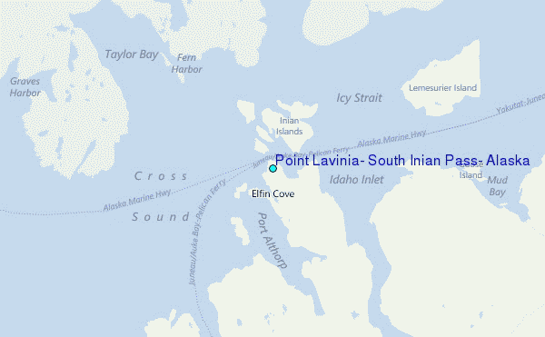
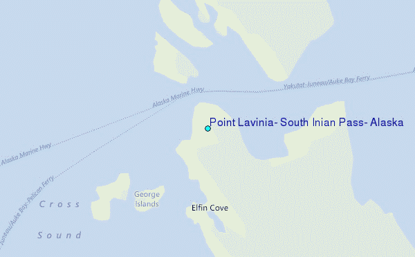
Choose Point Lavinia, South Inian Pass, Alaska Location Map Zoom:
| Contours: | Roads & Rivers: | Select a
tide station / surf break / city |
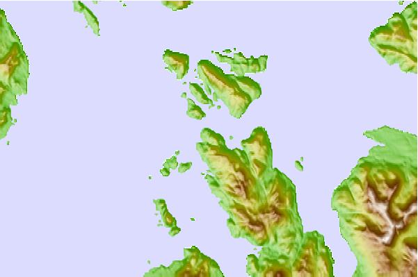
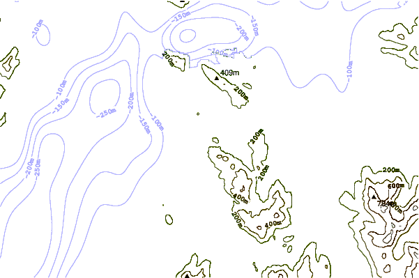
Use this relief map to navigate to tide stations, surf breaks and cities that are in the area of Point Lavinia, South Inian Pass, Alaska.
Other Nearby Locations' tide tables and tide charts to Point Lavinia, South Inian Pass, Alaska:
click location name for more details
 Surf breaks close to Point Lavinia, South Inian Pass, Alaska:
|
||
|---|---|---|
| Closest surf break | Cannon Beach | 151 mi |
| Second closest surf break | Graveyards | 154 mi |
| Third closest surf break | Ocean Cape | 155 mi |
| Fourth closest surf break | Lepus Beach (Haida-Gwaii) | 308 mi |
| Fifth closest surf break | Tow Hill Beach | 336 mi |


 Nearest
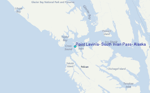