
| Distance / Altitude | Location | Report Date / Time | Live Weather | Wind | Gusts | Temp. | Visibility | Cloud |
|---|---|---|---|---|---|---|---|---|
| 20 km SE / 43 m | Bella Bella Airport (British columbia) | 2026-06-24 10:00 local (2026/06/24 17:00 GMT) | Dry and partly cloudy | light winds from the WNW.(Wind varies from 270 to 340 degs) (9 km/h at 300) | 18°C | 14 | scattered | |
| 62 km ESE / 26 m | Cathedral Point (Aut)- BC (Canada) | 2026-06-24 11:00 local (2026/06/24 18:00 GMT) | no report | light winds from the WSW (14 km/h at 240) | — | - | - | |
| 62 km ESE / 214 m | Cathedral Point Airport (British Columbia) | 2026-06-24 10:00 local (2026/06/24 17:00 GMT) | - | light winds from the SSW (13 km/h at 210) | 16°C | 0.0 | - - - | |
| 98 km WSW / 3 m | South Hecate Strait Buoy (Marine) | 2026-06-24 11:00 local (2026/06/24 18:00 GMT) | light winds from the WNW (18 km/h at 290) | 12°C | - | |||
| 108 km S / 3 m | West Sea Otter Buoy (Marine) | 2026-06-24 11:00 local (2026/06/24 18:00 GMT) | moderate winds from the W (25 km/h at 270) | 12°C | - | |||
| 122 km E / 328 m | Bella Coola Airport (British Columbia) | 2026-06-24 10:00 local (2026/06/24 17:00 GMT) | - | light winds from the ENE (6 km/h at 70) | — | 24 | few broken - | |
| 161 km SSE / 13 m | Herbert Island (Aut)- BC (Canada) | 2026-06-24 11:00 local (2026/06/24 18:00 GMT) | no report | light winds from the W (14 km/h at 280) | 11°C | - | - - - | |
| 162 km SSE / 15 m | SHIP1292 (Marine) | 2026-06-24 10:00 local (2026/06/24 17:00 GMT) | moderate winds from the W (22.32 km/h at 280) | — | - km | |||
| 162 km SSE / 3 m | SHIP2633 (Marine) | 2026-06-24 09:00 local (2026/06/24 16:00 GMT) | moderate winds from the W (21 km/h at 270) | 13°C | - | |||
| 162 km SSE / 3 m | SHIP7050 (Marine) | 2026-06-24 10:00 local (2026/06/24 17:00 GMT) | moderate winds from the W (22 km/h at 280) | 13°C | - |
| Contours: | Roads & Rivers: | Select a
tide station / surf break / city |
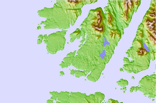
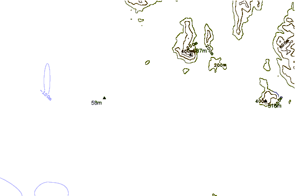
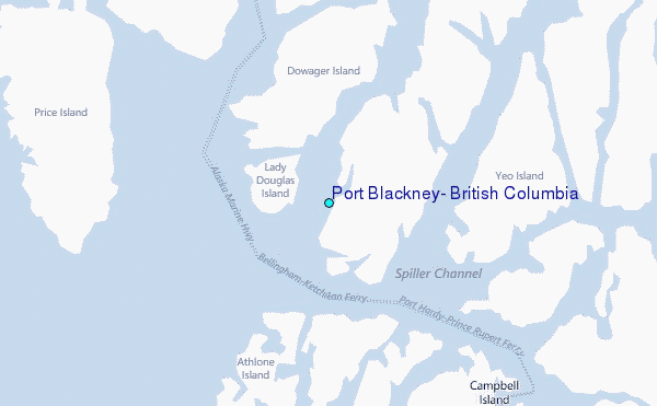
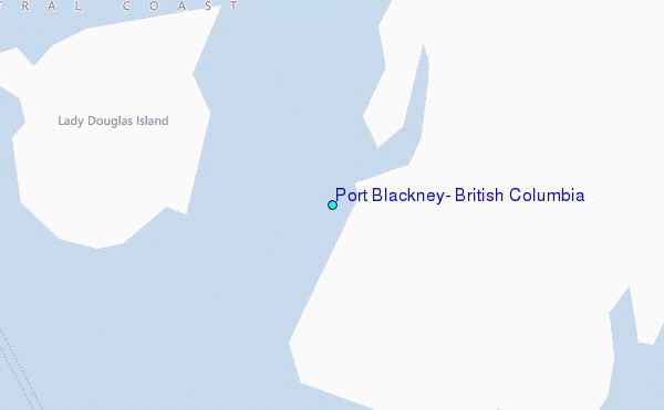
Use this relief map to navigate to tide stations, surf breaks and cities that are in the area of Port Blackney, British Columbia.
Other Nearby Locations' tide tables and tide charts to Port Blackney, British Columbia:
click location name for more details
 Surf breaks close to Port Blackney, British Columbia:
|
||
|---|---|---|
| Closest surf break | Tow Hill Beach | 188 mi |
| Second closest surf break | Nootka Island (Calvin Bay) | 195 mi |
| Third closest surf break | Lepus Beach (Haida-Gwaii) | 232 mi |
| Fourth closest surf break | Tofino (North Chestermans Beach) | 245 mi |
| Fifth closest surf break | South Chesterman Beach | 247 mi |


 Nearest
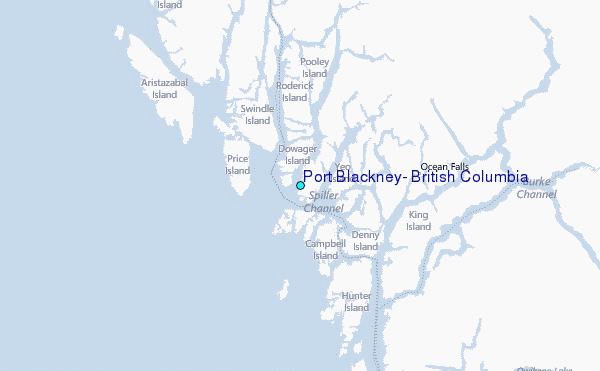