
| Distance / Altitude | Location | Report Date / Time | Live Weather | Wind | Gusts | Temp. | Visibility | Cloud |
|---|---|---|---|---|---|---|---|---|
| 170 km SSE / 3 m | SHIP4017 (Marine) | 2026-07-25 19:30 local (2026/07/25 22:00 GMT) | light winds from the E (11 km/h at 100) | 7°C | - | |||
| 171 km SSE / 15 m | SHIP3190 (Marine) | 2026-07-25 19:30 local (2026/07/25 22:00 GMT) | light winds from the E (11.16 km/h at 100) | — | - km | |||
| 171 km SSE / 3 m | SHIP367 (Marine) | 2026-07-25 19:30 local (2026/07/25 22:00 GMT) | light winds from the E (11 km/h at 100) | 7°C | - | |||
| 171 km SSE / 3 m | SHIP1612 (Marine) | 2026-07-25 19:30 local (2026/07/25 22:00 GMT) | light winds from the E (11 km/h at 100) | 7°C | - | |||
| 171 km SSE / 15 m | SHIP2656 (Marine) | 2026-07-25 19:30 local (2026/07/25 22:00 GMT) | light winds from the E (11.16 km/h at 100) | — | - km | |||
| 171 km SSE / 15 m | SHIP7243 (Marine) | 2026-07-25 19:30 local (2026/07/25 22:00 GMT) | light winds from the E (11.16 km/h at 100) | — | - km | |||
| 171 km SSE / 3 m | SHIP4430 (Marine) | 2026-07-25 19:30 local (2026/07/25 22:00 GMT) | light winds from the E (11 km/h at 100) | 7°C | - | |||
| 171 km SSE / 3 m | SHIP3792 (Marine) | 2026-07-25 19:30 local (2026/07/25 22:00 GMT) | light winds from the E (11 km/h at 100) | 7°C | - | |||
| 171 km SSE / 15 m | SHIP642 (Marine) | 2026-07-25 19:30 local (2026/07/25 22:00 GMT) | light winds from the E (11.16 km/h at 100) | — | - km | |||
| 171 km SSE / 3 m | SHIP149 (Marine) | 2026-07-25 19:30 local (2026/07/25 22:00 GMT) | light winds from the E (11 km/h at 100) | 7°C | - |
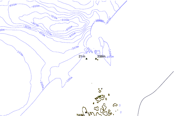
| Contours: | Roads & Rivers: | Select a
tide station / surf break / city |
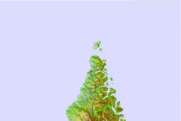
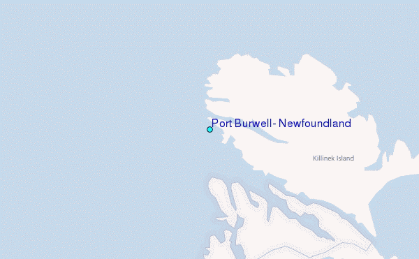
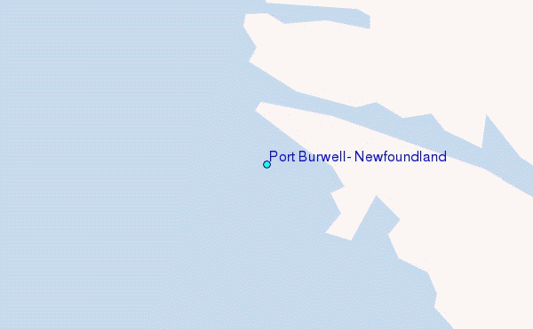
Use this relief map to navigate to tide stations, surf breaks and cities that are in the area of Port Burwell, Newfoundland.
Other Nearby Locations' tide tables and tide charts to Port Burwell, Newfoundland:
click location name for more details
 Surf breaks close to Port Burwell, Newfoundland:
|
||
|---|---|---|
| Closest surf break | Ingonish Beach | 970 mi |
| Second closest surf break | Kennington Cove | 1024 mi |
| Third closest surf break | Michaud Point | 1040 mi |
| Fourth closest surf break | Martinique | 1090 mi |
| Fifth closest surf break | Lawrencetown Reef | 1092 mi |


 Nearest
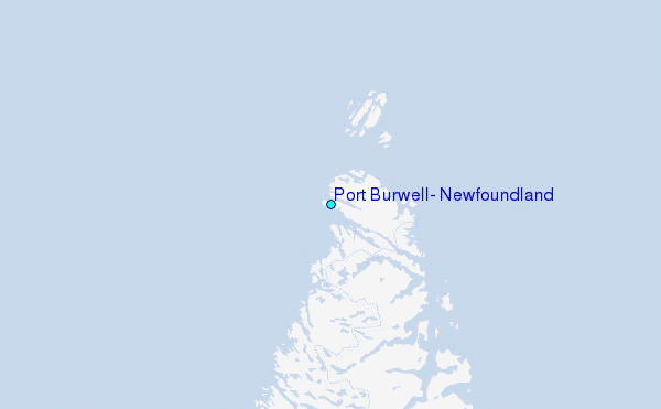