
| Distance / Altitude | Location | Report Date / Time | Live Weather | Wind | Gusts | Temp. | Visibility | Cloud |
|---|---|---|---|---|---|---|---|---|
| 190 km ENE / 15 m | SHIP4604 (Marine) | 2026-06-22 11:00 local (2026/06/22 03:00 GMT) | strong winds from the ESE (43.2 km/h at 120) | 27°C | - km | |||
| 190 km ENE / 15 m | SHIP3144 (Marine) | 2026-06-22 11:00 local (2026/06/22 03:00 GMT) | strong winds from the ESE (43.2 km/h at 120) | 27°C | - km | |||
| 190 km ENE / 3 m | SHIP6854 (Marine) | 2026-06-22 11:00 local (2026/06/22 03:00 GMT) | strong winds from the ESE (43 km/h at 120) | 24°C | - | |||
| 190 km ENE / 3 m | SHIP2741 (Marine) | 2026-06-22 11:00 local (2026/06/22 03:00 GMT) | strong winds from the ESE (43 km/h at 120) | 24°C | - | |||
| 190 km ENE / 3 m | SHIP2000 (Marine) | 2026-06-22 11:00 local (2026/06/22 03:00 GMT) | strong winds from the ESE (43 km/h at 120) | 24°C | - | |||
| 214 km ENE / 15 m | SHIP7981 (Marine) | 2026-06-22 12:00 local (2026/06/22 04:00 GMT) | fresh winds from the SE (36.0 km/h at 130) | 27°C | - km | |||
| 214 km ENE / 15 m | SHIP1611 (Marine) | 2026-06-22 12:00 local (2026/06/22 04:00 GMT) | fresh winds from the SE (36.0 km/h at 130) | 27°C | - km | |||
| 214 km ENE / 15 m | SHIP5749 (Marine) | 2026-06-22 12:00 local (2026/06/22 04:00 GMT) | fresh winds from the SE (36.0 km/h at 130) | 27°C | - km | |||
| 224 km ENE / 15 m | SHIP950 (Marine) | 2026-06-22 13:00 local (2026/06/22 05:00 GMT) | fresh winds from the ESE (36.0 km/h at 120) | 27°C | - km | |||
| 292 km SSW / 3 m | SHIP8446 (Marine) | 2026-06-22 12:00 local (2026/06/22 04:00 GMT) | - (- km/h at -) | 28°C | - |
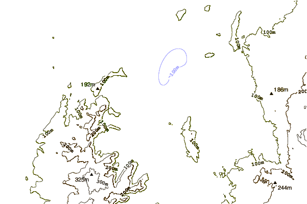
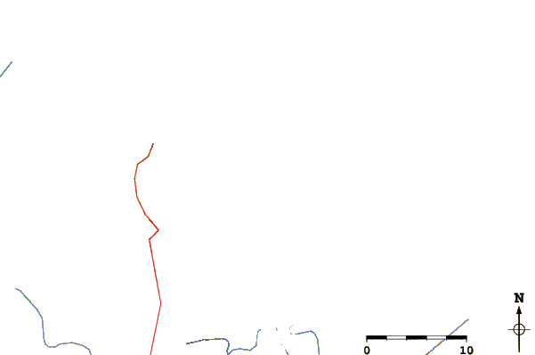
| Contours: | Roads & Rivers: | Select a
tide station / surf break / city |
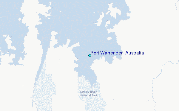
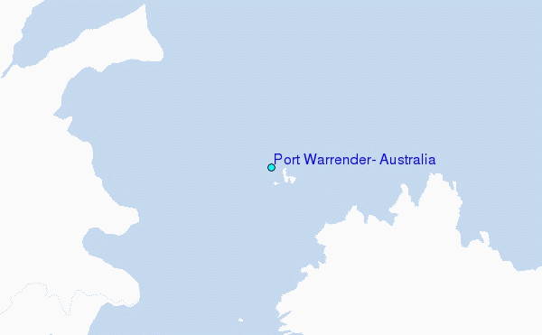
Use this relief map to navigate to tide stations, surf breaks and cities that are in the area of Port Warrender, Australia.
Other Nearby Locations' tide tables and tide charts to Port Warrender, Australia:
click location name for more details
 Surf breaks close to Port Warrender, Australia:
|
||
|---|---|---|
| Closest surf break | Nembrala | 319 mi |
| Second closest surf break | Ndana | 321 mi |
| Third closest surf break | Boa | 322 mi |
| Fourth closest surf break | Peanuts | 323 mi |
| Fifth closest surf break | T-Land | 325 mi |


 Nearest
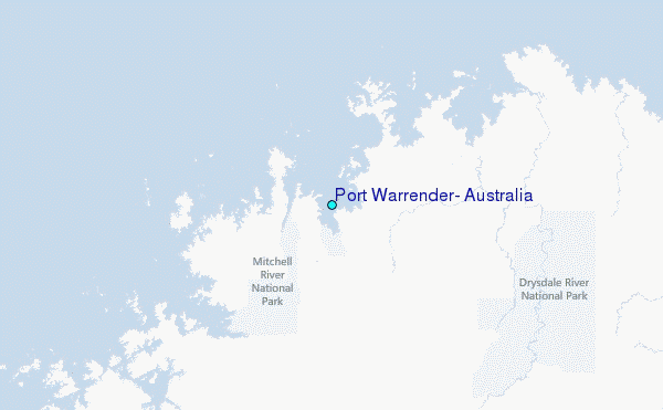