
| Distance / Altitude | Location | Report Date / Time | Live Weather | Wind | Gusts | Temp. | Visibility | Cloud |
|---|---|---|---|---|---|---|---|---|
| 3 km SSW / 3 m | Esquimalt Harbour- BC (Canada) | 2026-07-26 03:00 local (2026/07/26 10:00 GMT) | no report | - (- km/h at -) | 13°C | - | - - - | |
| 4 km NE / 61 m | Lake Hill wx (Canada) | 2026-07-26 03:41 local (2026/07/26 10:41 GMT) | dry | calm (0 km/h at ) | 15°C | - | - - 0 | |
| 4 km SE / 10 m | Victoria (Canada) | 2026-07-26 03:03 local (2026/07/26 10:03 GMT) | dry | calm (0 km/h at 38) | 14°C | - | - - 0 | |
| 4 km S / 216 m | Esquimalt Airport (British Columbia) | 2026-07-26 02:30 local (2026/07/26 09:30 GMT) | - | wind obs. (6 kph from 180 degs) was rejected (- km/h at -) | 14°C | 0.0 | ||
| 5 km E / 80 m | Victoria (Canada) | 2026-07-26 03:21 local (2026/07/26 10:21 GMT) | dry | calm (0 km/h at 115) | 14°C | - | - - 0 | |
| 6 km NNE / 63 m | Beaver Lake wx (Canada) | 2026-07-26 02:09 local (2026/07/26 09:09 GMT) | dry | calm (3 km/h at 145) | 16°C | - | - - 0 | |
| 6 km SSW / 52 m | Victoria (British Columbia) | 2026-07-26 03:04 local (2026/07/26 10:04 GMT) | dry | calm (0 km/h at 86) | 14°C | - | - - 0 | |
| 8 km E / 60 m | Victoria University Cs- BC (Canada) | 2026-07-26 03:00 local (2026/07/26 10:00 GMT) | no report | - (- km/h at -) | 11°C | - | - - - | |
| 8 km ESE / 69 m | Victoria Gonzales Cs- BC (Canada) | 2026-07-26 03:00 local (2026/07/26 10:00 GMT) | no report | wind obs. (7 kph from 40 degs) was rejected (- km/h at -) | 13°C | - | - | |
| 8 km ESE / 476 m | Victoria Harbour Airport (British Columbia) | 2026-07-26 02:00 local (2026/07/26 09:00 GMT) | Dry and partly cloudy | light winds from the ENE (7 km/h at 70) | 14°C | 0.0 | few broken - |
| Contours: | Roads & Rivers: | Select a
tide station / surf break / city |
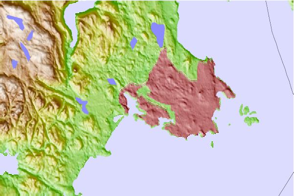
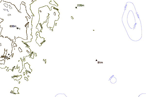
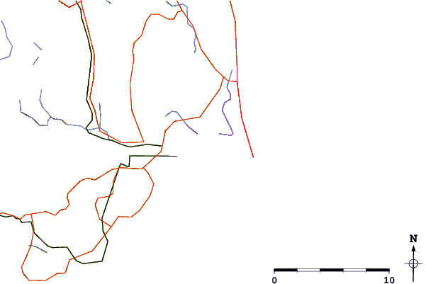
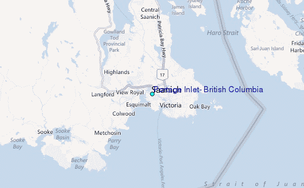
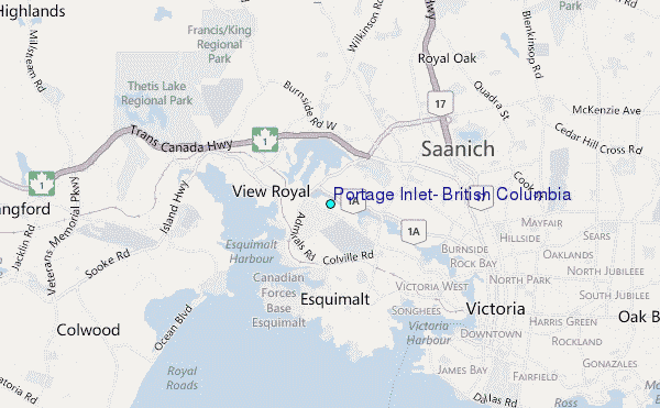
Use this relief map to navigate to tide stations, surf breaks and cities that are in the area of Portage Inlet, British Columbia.
Other Nearby Locations' tide tables and tide charts to Portage Inlet, British Columbia:
click location name for more details
 Surf breaks close to Portage Inlet, British Columbia:
|
||
|---|---|---|
| Closest surf break | Elwha | 22 mi |
| Second closest surf break | Super green | 24 mi |
| Third closest surf break | Crescent | 24 mi |
| Fourth closest surf break | Jordan River | 25 mi |
| Fifth closest surf break | Whiskey Creek | 26 mi |


 Nearest
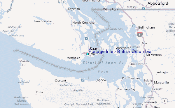