
| Distance / Altitude | Location | Report Date / Time | Live Weather | Wind | Gusts | Temp. | Visibility | Cloud |
|---|---|---|---|---|---|---|---|---|
| 24 km S / 18 m | Lockhart River (Australia) | 2026-07-28 03:00 local (2026/07/27 17:00 GMT) | no report | - (- km/h at -) | 19°C | - | - | |
| 133 km S / 160 m | Coen Airport (Australia) | 2026-07-28 03:00 local (2026/07/27 17:00 GMT) | no report | wind obs. (7 kph from 60 degs) was rejected (- km/h at -) | 18°C | - | - - - | |
| 144 km WSW / 40 m | Scherger Raaf (Australia) | 2026-07-28 03:00 local (2026/07/27 17:00 GMT) | no report | light winds from the ESE (6 km/h at 110) | 22°C | - | - | |
| 164 km WSW / 20 m | Weipa Aerodrome (Australia) | 2026-07-28 03:00 local (2026/07/27 17:00 GMT) | no report | light winds from the E (15 km/h at 100) | 24°C | - | - | |
| 254 km NW / 15 m | SHIP3935 (Marine) | 2026-07-28 02:00 local (2026/07/27 16:00 GMT) | moderate winds from the ESE (25.2 km/h at 110) | 25°C | - km | |||
| 253 km NW / 15 m | SHIP2904 (Marine) | 2026-07-28 02:00 local (2026/07/27 16:00 GMT) | moderate winds from the ESE (25.2 km/h at 110) | 25°C | - km | |||
| 253 km NW / 3 m | SHIP2793 (Marine) | 2026-07-28 02:00 local (2026/07/27 16:00 GMT) | moderate winds from the ESE (25 km/h at 110) | 25°C | - | |||
| 253 km NW / 15 m | SHIP6182 (Marine) | 2026-07-28 02:00 local (2026/07/27 16:00 GMT) | moderate winds from the ESE (25.2 km/h at 110) | 25°C | - km | |||
| 253 km NW / 3 m | SHIP5466 (Marine) | 2026-07-28 02:00 local (2026/07/27 16:00 GMT) | moderate winds from the ESE (25 km/h at 110) | 25°C | - | |||
| 254 km NW / 13 m | Horn Island Airport (Australia) | 2026-07-28 02:30 local (2026/07/27 16:30 GMT) | - | light winds from the SE (11 km/h at 130) | 23°C | 10.0 | few |
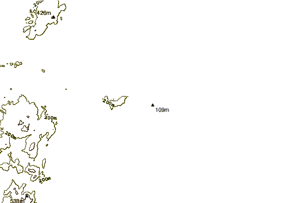
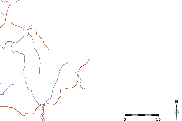
| Contours: | Roads & Rivers: | Select a
tide station / surf break / city |
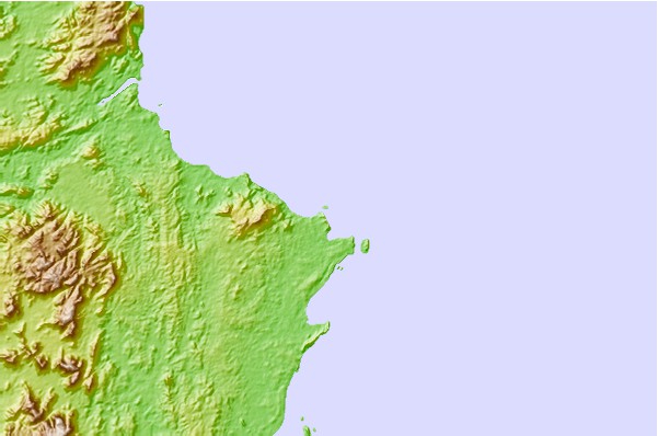
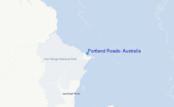
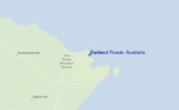
Use this relief map to navigate to tide stations, surf breaks and cities that are in the area of Portland Roads, Australia.
Other Nearby Locations' tide tables and tide charts to Portland Roads, Australia:
click location name for more details
 Surf breaks close to Portland Roads, Australia:
|
||
|---|---|---|
| Closest surf break | Tupira Right | 580 mi |
| Second closest surf break | Forok Point | 622 mi |
| Third closest surf break | The Wharf (Mission Point) | 625 mi |
| Fourth closest surf break | Moem Point | 626 mi |
| Fifth closest surf break | Wewak Point | 626 mi |


 Nearest
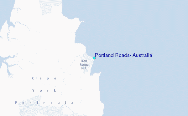