
| Distance / Altitude | Location | Report Date / Time | Live Weather | Wind | Gusts | Temp. | Visibility | Cloud |
|---|---|---|---|---|---|---|---|---|
| 1 km E / 339 m | Puvirnituq Airport (Quebec) | 2026-07-26 05:42 local (2026/07/26 09:42 GMT) | Dry and partly cloudy | moderate winds from the S (22 km/h at 190) | — | 14 | few broken broken | |
| 180 km S / 1 m | Inukjuak Ua- Que (Canada) | 2026-07-26 05:41 local (2026/07/26 09:41 GMT) | Dry and partly cloudy | light winds from the SSW (19 km/h at 210) | 8°C | 14 | scattered broken - | |
| 244 km NE / 503 m | Parc National Des Pingualuit- Que (Canada) | 2026-07-26 05:00 local (2026/07/26 09:00 GMT) | - | moderate winds from the WSW (22 km/h at 240) | — | - | - | |
| 342 km SE / 171 m | Riviere Aux Feuilles- Que (Canada) | 2026-07-26 06:00 local (2026/07/26 10:00 GMT) | no report | strong winds from the W (40 km/h at 260) | 4°C | - | - | |
| 406 km S / 34 m | Sanikiluaq (Canada) | 2026-07-26 06:00 local (2026/07/26 10:00 GMT) | no report | wind obs. (40 kph from 260 degs) was rejected (- km/h at -) | 4°C | - | - - - | |
| 468 km N / 217 m | Cape Dorset Airport (N.w. Territories) | 2026-07-26 05:00 local (2026/07/26 09:00 GMT) | Dry and cloudy | light winds from the E (15 km/h at 100) | 3°C | 0.0 | overcast | |
| 469 km N / 50 m | Cape Dorset Climate- NU (Canada) | 2026-07-26 06:00 local (2026/07/26 10:00 GMT) | no report | moderate winds from the ENE (22 km/h at 70) | 0°C | - | - - - | |
| 532 km S / 164 m | Kuujjuarapik Airport (Quebec) | 2026-07-26 05:00 local (2026/07/26 09:00 GMT) | Dry and cloudy | light winds from the SSW.(Wind varies from 170 to 230 degs) (6 km/h at 200) | 7°C | 14 | overcast | |
| 551 km ESE / 123 m | Kuujjuaq- Ua- Que (Canada) | 2026-07-26 05:40 local (2026/07/26 09:40 GMT) | - | - (- km/h at -) | — | - | - | |
| 552 km ESE / 216 m | Kuujjuaq Airport (Quebec) | 2026-07-26 05:41 local (2026/07/26 09:41 GMT) | Moderate rain | light winds from the NW.(Wind varies from 270 to 340 degs) (9 km/h at 320) | 13°C | 5 | scattered overcast |
| Contours: | Roads & Rivers: | Select a
tide station / surf break / city |
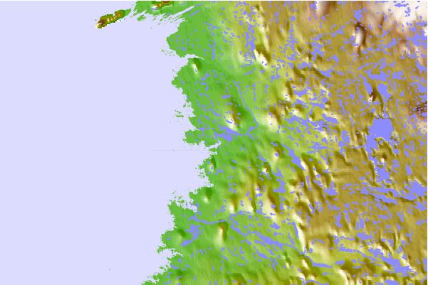
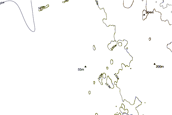
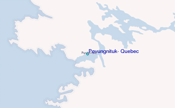
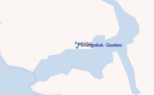
Use this relief map to navigate to tide stations, surf breaks and cities that are in the area of Povungnituk, Quebec.
Other Nearby Locations' tide tables and tide charts to Povungnituk, Quebec:
click location name for more details
 Surf breaks close to Povungnituk, Quebec:
|
||
|---|---|---|
| Closest surf break | Marathon | 864 mi |
| Second closest surf break | Alona Bay | 939 mi |
| Third closest surf break | Keweenaw Peninsula | 974 mi |
| Fourth closest surf break | Au Sable Point | 991 mi |
| Fifth closest surf break | Grand Marias | 991 mi |


 Nearest
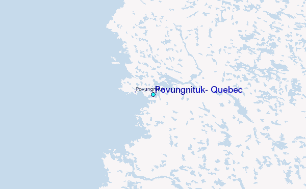