
| Distance / Altitude | Location | Report Date / Time | Live Weather | Wind | Gusts | Temp. | Visibility | Cloud |
|---|---|---|---|---|---|---|---|---|
| 71 km NNE / 190 m | Manta/Eloy Alfaro International Airport (Ecuador) | 2026-07-09 13:00 local (2026/07/09 18:00 GMT) | Dry and partly cloudy | light winds from the W.(Wind varies from 240 to 310 degs) (13 km/h at 280) | 30°C | 10.0 | few - - | |
| 72 km S / 8 m | Salinas/Gen Ulpi Airport (Ecuador) | 2026-07-09 13:00 local (2026/07/09 18:00 GMT) | Dry and partly cloudy | light winds from the SSW (19 km/h at 210) | 28°C | 10.0 | few scattered - | |
| 124 km ESE / 211 m | Guayaquil/José Joaquín de Olmedo International Airport (Ecuador) | 2026-07-09 13:00 local (2026/07/09 18:00 GMT) | Dry and partly cloudy | light winds from the SSE (15 km/h at 150) | 30°C | 10.0 | scattered | |
| 148 km ENE / 10 m | Gen Rivadeneira Airport (Ecuador) | 2026-07-09 13:00 local (2026/07/09 18:00 GMT) | Dry and partly cloudy | wind obs. (15 kph from 300 degs) was rejected (- km/h at -) | 31°C | 10.0 | scattered | |
| 223 km SSE / 158 m | Tumbes Pedro Canga Rodríguez Airport (Peru) | 2026-07-09 13:00 local (2026/07/09 18:00 GMT) | Dry and partly cloudy | light winds from the NW (11 km/h at 310) | 30°C | 10.0 | broken | |
| 227 km SSE / 52 m | Machala Larrea Airport (Ecuador) | 2026-07-09 13:00 local (2026/07/09 18:00 GMT) | Dry and partly cloudy | wind obs. (7 kph from 20 degs) was rejected (- km/h at -) | 31°C | 10.0 | few broken - | |
| 241 km E / 2796 m | Riobamba/Chimborazo Airport (Ecuador) | 2026-07-09 13:00 local (2026/07/09 18:00 GMT) | - | wind obs. (19 kph from 50 degs) was rejected (- km/h at -) | — | 10.0 | broken - - | |
| 253 km SE / 2531 m | Cuenca/Mariscal Airport (Ecuador) | 2026-07-09 13:00 local (2026/07/09 18:00 GMT) | - | wind obs. (17 kph from 50 degs) was rejected (- km/h at -) | — | 10.0 | overcast - - | |
| 256 km E / 2520 m | Ambato Aeropuerto (Ecuador) | 2026-07-09 13:00 local (2026/07/09 18:00 GMT) | Dry and partly cloudy | light winds from the SSE (7 km/h at 160) | 18°C | 10.0 | broken - - | |
| 257 km ENE / 2768 m | Latacunga/Cotopaxi Airport (Ecuador) | 2026-07-09 13:00 local (2026/07/09 18:00 GMT) | Dry and partly cloudy | fresh winds from the S (33 km/h at 170) | 16°C | 10.0 | broken |
| Contours: | Roads & Rivers: | Select a
tide station / surf break / city |
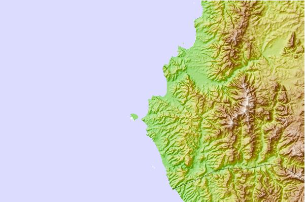
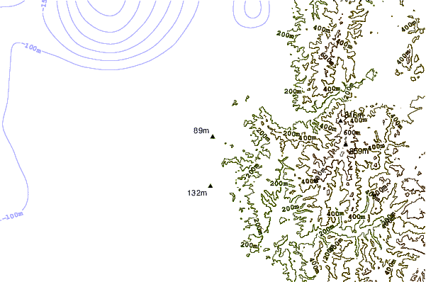
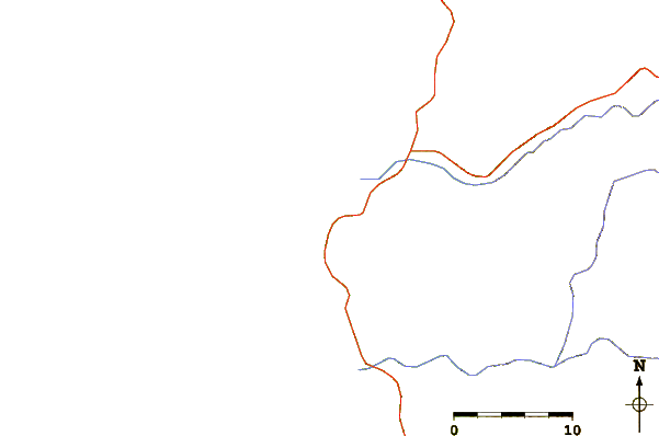
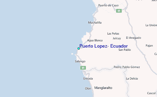
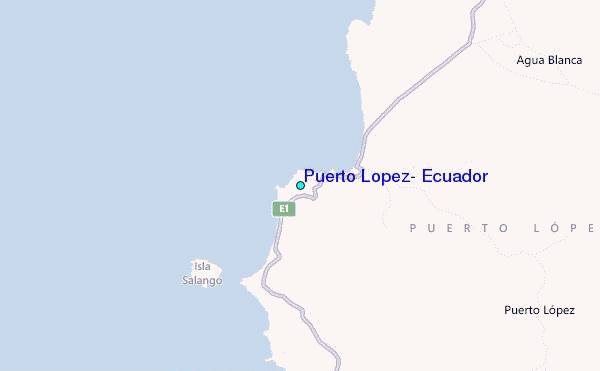
Use this relief map to navigate to tide stations, surf breaks and cities that are in the area of Puerto Lopez, Ecuador.
Other Nearby Locations' tide tables and tide charts to Puerto Lopez, Ecuador:
click location name for more details
 Surf breaks close to Puerto Lopez, Ecuador:
|
||
|---|---|---|
| Closest surf break | Punta Mala | 1 mi |
| Second closest surf break | Las Tunas | 4 mi |
| Third closest surf break | Viejamar | 6 mi |
| Fourth closest surf break | Rio Chico | 7 mi |
| Fifth closest surf break | Ayampe | 9 mi |


 Nearest
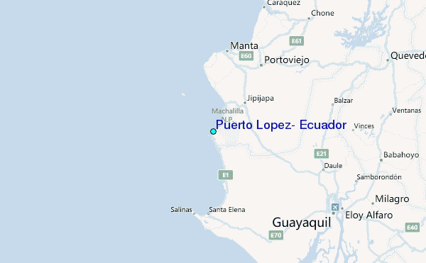