
| Distance / Altitude | Location | Report Date / Time | Live Weather | Wind | Gusts | Temp. | Visibility | Cloud |
|---|---|---|---|---|---|---|---|---|
| 220 km ENE / 330 m | LANDESOL (Spain) | 2026-07-10 05:00 local (2026/07/09 19:00 GMT) | - | wind obs. (0 kph from 354 degs) was rejected (- km/h at -) | — | - | - - 0 | |
| 269 km E / 211 m | Weno Island/Chuuk International Airport (Micronesia) | 2026-07-10 03:51 local (2026/07/09 17:51 GMT) | Dry and cloudy | light winds from the NNE (13 km/h at 30) | 29°C | 24 | few scattered overcast | |
| 693 km N / 15 m | SHIP1522 (Marine) | 2026-07-10 04:00 local (2026/07/09 18:00 GMT) | moderate winds from the NE (24.12 km/h at 40) | 28°C | 17.7 km | |||
| 759 km NNE / 0 m | lightning (Micronesia) | 2026-07-10 03:03 local (2026/07/09 17:03 GMT) | Thunderstorm | (- km/h at -) | — | |||
| 767 km WNW / 0 m | lightning 124km SSW of Merizo (Guam) | 2026-07-10 03:04 local (2026/07/09 17:04 GMT) | Thunderstorm | (- km/h at -) | — | |||
| 766 km WNW / 0 m | lightning 124km SSW of Merizo (Guam) | 2026-07-10 03:04 local (2026/07/09 17:04 GMT) | Thunderstorm | (- km/h at -) | — | |||
| 809 km WNW / 218 m | Agana- Guam Airport (Guam) | 2026-07-10 03:54 local (2026/07/09 17:54 GMT) | Clear | calm (0 km/h at 0) | 25°C | 16 | ||
| 816 km WNW / 73 m | Windward Hills wx (Guam) | 2026-07-10 05:12 local (2026/07/09 19:12 GMT) | dry | calm (0 km/h at 0) | 25°C | - | - - 0 | |
| 816 km WNW / 3 m | BUOY-PGBP7 (Marine) | 2026-07-10 05:00 local (2026/07/09 19:00 GMT) | calm (5 km/h at 350) | — | - | |||
| 820 km WNW / 217 m | Mariana/Andersen Airport (Guam) | 2026-07-10 04:25 local (2026/07/09 18:25 GMT) | - | calm (0 km/h at 0) | 26°C | 14 | few few |
| Contours: | Roads & Rivers: | Select a
tide station / surf break / city |
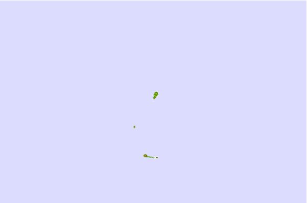
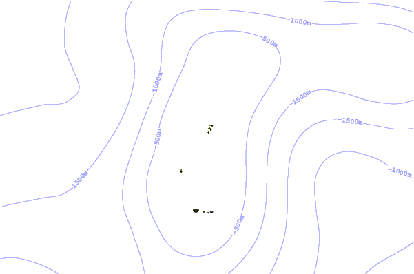
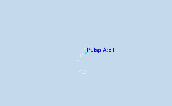
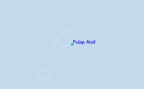
Use this relief map to navigate to tide stations, surf breaks and cities that are in the area of Pulap Atoll.
Other Nearby Locations' tide tables and tide charts to Pulap Atoll:
click location name for more details
 Surf breaks close to Pulap Atoll:
|
||
|---|---|---|
| Closest surf break | Talofofo/The Bay | 505 mi |
| Second closest surf break | Pickop's Point | 505 mi |
| Third closest surf break | Threes | 506 mi |
| Fourth closest surf break | Tubeys/Point Death | 507 mi |
| Fifth closest surf break | Umatac | 508 mi |


 Nearest