
| Distance / Altitude | Location | Report Date / Time | Live Weather | Wind | Gusts | Temp. | Visibility | Cloud |
|---|---|---|---|---|---|---|---|---|
| 97 km W / 12 m | Cartwright Airport (Newfoundland) | 2026-07-26 06:30 local (2026/07/26 09:00 GMT) | Clear | light winds from the SSW (13 km/h at 210) | 20°C | 14 | ||
| 98 km W / 14 m | Cartwright (Canada) | 2026-07-26 07:30 local (2026/07/26 10:00 GMT) | no report | light winds from the SW (7 km/h at 230) | 18°C | - | - | |
| 105 km S / 12 m | Mary s Harbour- Nfld (Canada) | 2026-07-26 07:30 local (2026/07/26 10:00 GMT) | - | moderate winds from the WSW (22 km/h at 250) | — | - | - | |
| 108 km S / 217 m | Mary's Harbour Airport (Newfoundland) | 2026-07-26 06:30 local (2026/07/26 09:00 GMT) | Clear | light winds from the SSW (7 km/h at 200) | 15°C | 14 | ||
| 193 km S / 10 m | St. Lunaire - Griquet (Canada) | 2026-07-26 07:11 local (2026/07/26 09:41 GMT) | dry | fresh winds from the WSW (31 km/h at 258) | 17°C | - | - - 0 | |
| 208 km S / 33 m | St. Anthony- Nfld (Canada) | 2026-07-26 07:30 local (2026/07/26 10:00 GMT) | no report | strong winds from the SW (40 km/h at 230) | 19°C | - | - - - | |
| 209 km S / 196 m | Saint Anthony Airport (Newfoundland) | 2026-07-26 06:30 local (2026/07/26 09:00 GMT) | Clear | light winds from the WSW (15 km/h at 240) | 14°C | 14 | ||
| 222 km S / 37 m | Lourdes DE Blanc Sablon A- Que (Canada) | 2026-07-26 07:30 local (2026/07/26 10:00 GMT) | no report | - (- km/h at -) | 10°C | - | - - - | |
| 222 km S / 216 m | Blanc Sablon Airport (Quebec) | 2026-07-26 06:30 local (2026/07/26 09:00 GMT) | Fog - | light winds from the W (7 km/h at 270) | — | 0 | ||
| 265 km S / 6 m | Ferolle Point (Aut)- Nfld (Canada) | 2026-07-26 07:30 local (2026/07/26 10:00 GMT) | no report | strong winds from the SSW (50 km/h at 200) | 13°C | - | - - - |
| Contours: | Roads & Rivers: | Select a
tide station / surf break / city |
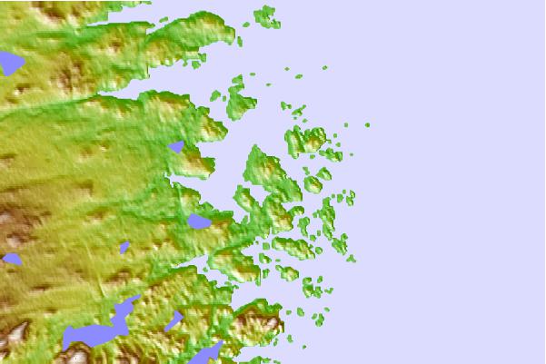
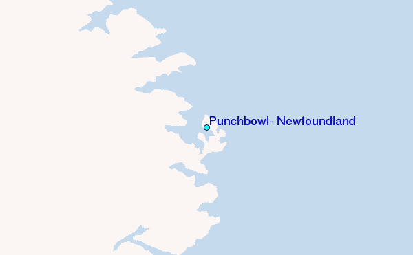
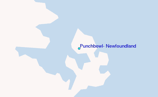
Use this relief map to navigate to tide stations, surf breaks and cities that are in the area of Punchbowl, Newfoundland.
Other Nearby Locations' tide tables and tide charts to Punchbowl, Newfoundland:
click location name for more details
 Surf breaks close to Punchbowl, Newfoundland:
|
||
|---|---|---|
| Closest surf break | Ingonish Beach | 501 mi |
| Second closest surf break | Kennington Cove | 544 mi |
| Third closest surf break | Michaud Point | 575 mi |
| Fourth closest surf break | Martinique | 680 mi |
| Fifth closest surf break | Lawrencetown Left Point | 686 mi |


 Nearest
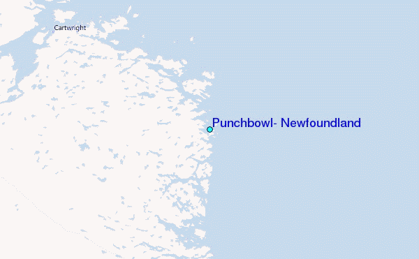