
| Distance / Altitude | Location | Report Date / Time | Live Weather | Wind | Gusts | Temp. | Visibility | Cloud |
|---|---|---|---|---|---|---|---|---|
| 3 km WSW / 217 m | Rankin Inlet Airport (N.w. Territories) | 2026-07-26 05:00 local (2026/07/26 09:00 GMT) | Dry and cloudy | light winds from the WNW (17 km/h at 300) | 11°C | 24 | broken overcast | |
| 3 km WSW / 32 m | Rankin Inlet Airport (Canada) | 2026-07-26 05:00 local (2026/07/26 09:00 GMT) | no report | - (- km/h at -) | 3°C | - | - - - | |
| 218 km S / 215 m | Arviat Airport (N.w. Territories) | 2026-07-26 05:00 local (2026/07/26 09:00 GMT) | Dry and cloudy | light winds from the WNW (6 km/h at 300) | 8°C | 14 | overcast | |
| 219 km S / 10 m | Arviat A- NU (Canada) | 2026-07-26 06:00 local (2026/07/26 10:00 GMT) | no report | light winds from the WNW (18 km/h at 290) | 5°C | - | - - - | |
| 257 km WNW / 214 m | Baker Lake Airport (N.w. Territories) | 2026-07-26 05:00 local (2026/07/26 09:00 GMT) | - | light winds from the NNW (7 km/h at 330) | 10°C | 16 | few | |
| 257 km WNW / 51 m | Baker Lake Climate- NU (Canada) | 2026-07-26 06:00 local (2026/07/26 10:00 GMT) | no report | light winds from the N (11 km/h at 360) | 3°C | - | - | |
| 459 km ENE / 22 m | Coral Harbour Airport (Canada) | 2026-07-26 06:00 local (2026/07/26 10:00 GMT) | no report | - (- km/h at -) | 3°C | - | - - - | |
| 466 km S / 216 m | Churchill Airport (Manitoba) | 2026-07-26 05:00 local (2026/07/26 09:00 GMT) | - | light winds from the WNW (11 km/h at 290) | 9°C | 24 | few | |
| 467 km S / 28 m | Churchill Climate- Man (Canada) | 2026-07-26 06:00 local (2026/07/26 10:00 GMT) | no report | light winds from the WNW (11 km/h at 290) | 7°C | - | - - - | |
| 499 km SW / 353 m | Ennadai Lake (Aut)- NU (Canada) | 2026-07-26 05:00 local (2026/07/26 09:00 GMT) | no report | fresh winds from the WSW (29 km/h at 240) | 7°C | - | - - - |
| Contours: | Roads & Rivers: | Select a
tide station / surf break / city |
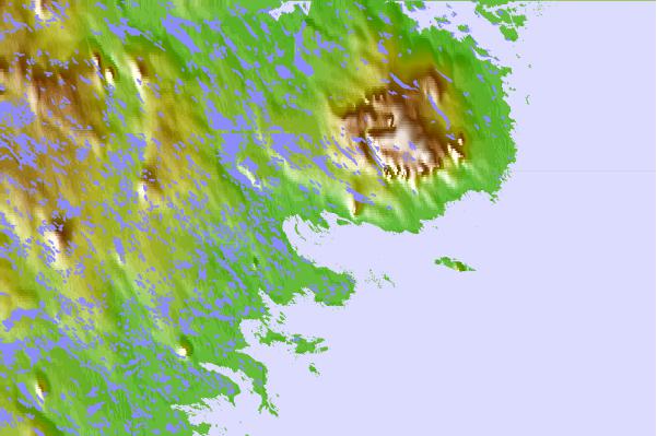
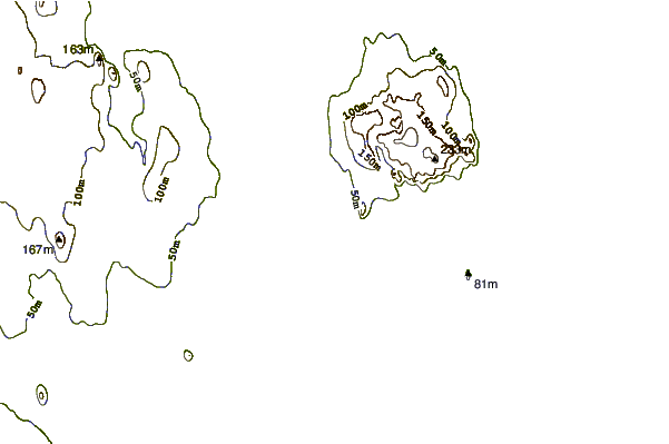
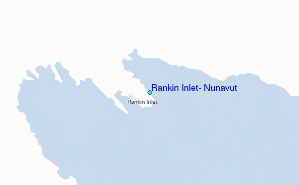
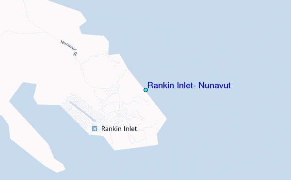
Use this relief map to navigate to tide stations, surf breaks and cities that are in the area of Rankin Inlet, Nunavut.
Other Nearby Locations' tide tables and tide charts to Rankin Inlet, Nunavut:
click location name for more details
 Surf breaks close to Rankin Inlet, Nunavut:
|
||
|---|---|---|
| Closest surf break | Marathon | 996 mi |
| Second closest surf break | Keweenaw Peninsula | 1072 mi |
| Third closest surf break | Apostle Islands | 1090 mi |
| Fourth closest surf break | Stoney Point | 1095 mi |
| Fifth closest surf break | Ontonagon | 1106 mi |


 Nearest
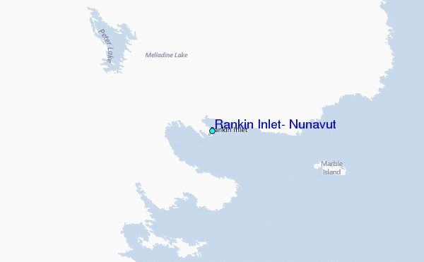