
| Distance / Altitude | Location | Report Date / Time | Live Weather | Wind | Gusts | Temp. | Visibility | Cloud |
|---|---|---|---|---|---|---|---|---|
| 120 km SSW / 216 m | Resolute Airport (N.w. Territories) | 2026-07-26 05:08 local (2026/07/26 09:08 GMT) | Dry and partly cloudy | light winds from the SE (15 km/h at 140) | 3°C | 48 | broken | |
| 120 km SSW / 30 m | Resolute CS Airport (Nunavut) | 2026-07-26 06:00 local (2026/07/26 10:00 GMT) | no report | wind obs. (7 kph from 290 degs) was rejected (- km/h at -) | 1°C | 0.0 | - - - | |
| 121 km SSW / 30 m | Resolute (Canada) | 2026-07-26 05:00 local (2026/07/26 09:00 GMT) | no report | wind obs. (7 kph from 270 degs) was rejected (- km/h at -) | 0°C | - | - | |
| 270 km ENE / 44 m | Grise Fiord Climate- NU (Canada) | 2026-07-26 05:00 local (2026/07/26 09:00 GMT) | no report | calm (4 km/h at 130) | 1°C | - | - | |
| 354 km SE / 2 m | Arctic Bay Airport (N.w. Territories) | 2026-07-26 05:00 local (2026/07/26 09:00 GMT) | - | calm (0 km/h at 0) | 6°C | 0.0 | ||
| 355 km SE / 10 m | Arctic Bay Cs- NU (Canada) | 2026-07-26 06:00 local (2026/07/26 10:00 GMT) | no report | light winds from the NW (14 km/h at 320) | 2°C | - | - - - | |
| 380 km WSW / 15 m | Rea Point- NU (Canada) | 2026-07-26 06:00 local (2026/07/26 10:00 GMT) | no report | wind obs. (14 kph from 160 degs) was rejected (- km/h at -) | 0°C | - | - - - | |
| 380 km WSW / 12 m | Rae Point (Nunavut) | 2026-07-26 05:00 local (2026/07/26 09:00 GMT) | - | light winds from the NNE (13 km/h at 20) | 0°C | 0.0 | ||
| 396 km S / 10 m | Fort Ross- NU (Canada) | 2026-07-26 06:00 local (2026/07/26 10:00 GMT) | no report | wind obs. (18 kph from 320 degs) was rejected (- km/h at -) | 2°C | - | - - - | |
| 433 km SW / 11 m | Stefansson Island- NU (Canada) | 2026-07-26 05:00 local (2026/07/26 09:00 GMT) | no report | wind obs. (18 kph from 230 degs) was rejected (- km/h at -) | — | - | - |
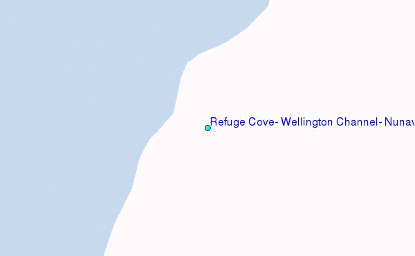
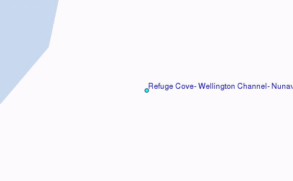
Choose Refuge Cove, Wellington Channel, Nunavut Location Map Zoom:
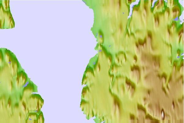
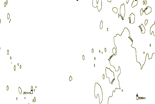
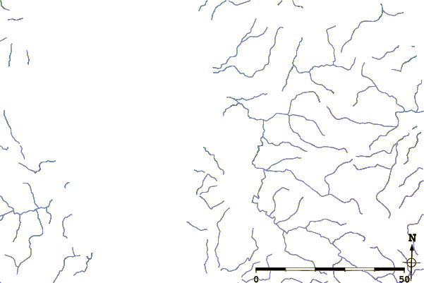
| Contours: | Roads & Rivers: | Select a
tide station / surf break / city |
Use this relief map to navigate to tide stations, surf breaks and cities that are in the area of Refuge Cove, Wellington Channel, Nunavut.
Other Nearby Locations' tide tables and tide charts to Refuge Cove, Wellington Channel, Nunavut:
click location name for more details
 Surf breaks close to Refuge Cove, Wellington Channel, Nunavut:
|
||
|---|---|---|
| Closest surf break | Graveyards | 1600 mi |
| Second closest surf break | Ocean Cape | 1601 mi |
| Third closest surf break | Cannon Beach | 1602 mi |
| Fourth closest surf break | Eyvik | 1690 mi |
| Fifth closest surf break | Garur | 1713 mi |


 Nearest
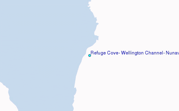