
| Distance / Altitude | Location | Report Date / Time | Live Weather | Wind | Gusts | Temp. | Visibility | Cloud |
|---|---|---|---|---|---|---|---|---|
| 102 km ESE / 26 m | Cylde Airport (Canada) | 2026-07-26 05:00 local (2026/07/26 09:00 GMT) | no report | wind obs. (14 kph from 350 degs) was rejected (- km/h at -) | 0°C | - | - - - | |
| 103 km ESE / 217 m | Cylde Airport (N.w. Territories) | 2026-07-26 05:00 local (2026/07/26 09:00 GMT) | Clear | light winds from the E (9 km/h at 100) | 4°C | 14 | ||
| 316 km WNW / 55 m | Pond Inlet Climate- NU (Canada) | 2026-07-26 06:00 local (2026/07/26 10:00 GMT) | no report | wind obs. (7 kph from 250 degs) was rejected (- km/h at -) | 2°C | - | - | |
| 316 km WNW / 62 m | Pond Inlet A- NU (Canada) | 2026-07-26 05:00 local (2026/07/26 09:00 GMT) | no report | wind obs. (7 kph from 230 degs) was rejected (- km/h at -) | 2°C | - | - | |
| 316 km WNW / 217 m | Pond Inlet Airport (N.w. Territories) | 2026-07-26 05:00 local (2026/07/26 09:00 GMT) | Clear | calm (0 km/h at 0) | 11°C | 14 | ||
| 457 km SW / 8 m | Hall Beach (Canada) | 2026-07-26 06:00 local (2026/07/26 10:00 GMT) | - | wind obs. (22 kph from 300 degs) was rejected (- km/h at -) | — | - | - - - | |
| 458 km SW / 210 m | Hall Beach Airport (N.w. Territories) | 2026-07-26 05:00 local (2026/07/26 09:00 GMT) | Clear | light winds from the NNE (13 km/h at 30) | 6°C | 14 | ||
| 462 km SE / 6 m | Qikiqtarjuaq Airport (Canada) | 2026-07-26 06:00 local (2026/07/26 10:00 GMT) | no report | calm (4 km/h at 20) | -1°C | - | - - - | |
| 469 km SE / 707 m | Broughton Island Airport (N.w. Territories) | 2026-07-26 05:00 local (2026/07/26 09:00 GMT) | Clear | wind obs. (11 kph from 200 degs) was rejected (- km/h at -) | 3°C | 14 | ||
| 538 km W / 2 m | Arctic Bay Airport (N.w. Territories) | 2026-07-26 05:00 local (2026/07/26 09:00 GMT) | - | calm (0 km/h at 0) | 6°C | 0.0 |
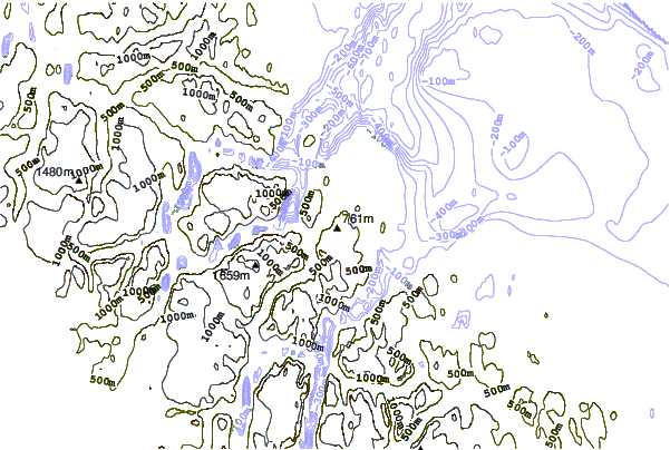
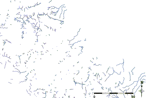
| Contours: | Roads & Rivers: | Select a
tide station / surf break / city |
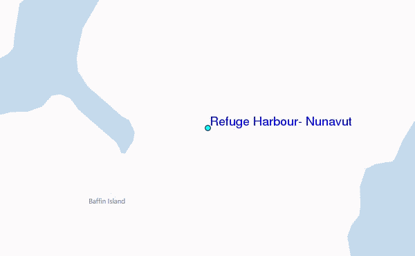
Use this relief map to navigate to tide stations, surf breaks and cities that are in the area of Refuge Harbour, Nunavut.
Other Nearby Locations' tide tables and tide charts to Refuge Harbour, Nunavut:
click location name for more details
 Surf breaks close to Refuge Harbour, Nunavut:
|
||
|---|---|---|
| Closest surf break | Garur | 1321 mi |
| Second closest surf break | Hafnir | 1329 mi |
| Third closest surf break | Grotta | 1333 mi |
| Fourth closest surf break | Sandvik | 1336 mi |
| Fifth closest surf break | Grindavik Antenas | 1339 mi |


 Nearest
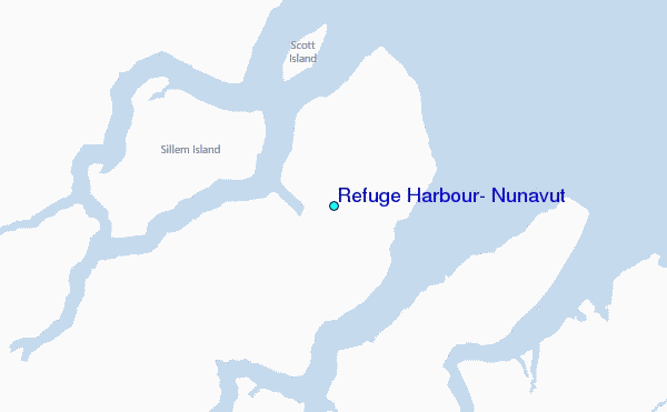