
| Distance / Altitude | Location | Report Date / Time | Live Weather | Wind | Gusts | Temp. | Visibility | Cloud |
|---|---|---|---|---|---|---|---|---|
| 15 km SW / 34 m | Sanikiluaq (Canada) | 2026-07-26 04:00 local (2026/07/26 08:00 GMT) | no report | wind obs. (40 kph from 260 degs) was rejected (- km/h at -) | 4°C | - | - - - | |
| 163 km SSE / 12 m | Kuujjuarapik Arpt (Canada) | 2026-07-26 04:00 local (2026/07/26 08:00 GMT) | no report | calm (4 km/h at 310) | 8°C | - | - | |
| 164 km SSE / 164 m | Kuujjuarapik Airport (Quebec) | 2026-07-26 03:00 local (2026/07/26 07:00 GMT) | Dry and cloudy | light winds from the WSW (6 km/h at 240) | 8°C | 14 | overcast | |
| 217 km NNE / 217 m | Inukjuak Airport (Quebec) | 2026-07-26 04:00 local (2026/07/26 08:00 GMT) | no report | wind obs. (43 kph from 260 degs) was rejected (- km/h at -) | 3°C | 14 | overcast - - | |
| 337 km SSE / 195 m | LA Grande Riviere A- Que (Canada) | 2026-07-26 03:00 local (2026/07/26 07:00 GMT) | no report | - (- km/h at -) | 6°C | - | - - - | |
| 339 km SSE / 217 m | La Grande Rivier Airport (Quebec) | 2026-07-26 03:00 local (2026/07/26 07:00 GMT) | Drizzle | light winds from the NNE.(Wind varies from 340 to 050 degs) (6 km/h at 20) | 7°C | 19 | overcast | |
| 394 km ENE / 171 m | Riviere Aux Feuilles- Que (Canada) | 2026-07-26 04:00 local (2026/07/26 08:00 GMT) | no report | strong winds from the W (40 km/h at 260) | 4°C | - | - | |
| 399 km NNE / 339 m | Puvirnituq Airport (Quebec) | 2026-07-26 03:00 local (2026/07/26 07:00 GMT) | Dry and cloudy | light winds from the SW (17 km/h at 230) | 10°C | 14 | scattered overcast | |
| 439 km SW / 11 m | Peawanuck (Aut)- Ont (Canada) | 2026-07-26 04:00 local (2026/07/26 08:00 GMT) | Dry and cloudy | light winds from the SW (13 km/h at 220) | 12°C | 14 | overcast - - | |
| 460 km S / 9 m | Attawapiskat Airport (Canada) | 2026-07-26 03:00 local (2026/07/26 07:00 GMT) | Clear | calm (4 km/h at 1) | 7°C | 14 |
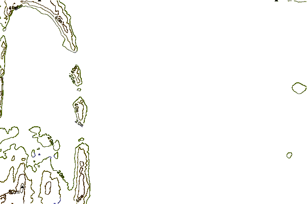
| Contours: | Roads & Rivers: | Select a
tide station / surf break / city |
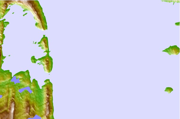
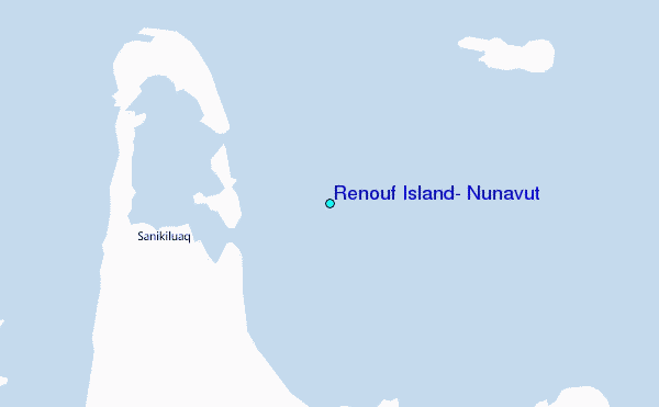
Use this relief map to navigate to tide stations, surf breaks and cities that are in the area of Renouf Island, Nunavut.
Other Nearby Locations' tide tables and tide charts to Renouf Island, Nunavut:
click location name for more details
 Surf breaks close to Renouf Island, Nunavut:
|
||
|---|---|---|
| Closest surf break | Marathon | 626 mi |
| Second closest surf break | Alona Bay | 694 mi |
| Third closest surf break | Keweenaw Peninsula | 739 mi |
| Fourth closest surf break | Au Sable Point | 748 mi |
| Fifth closest surf break | Grand Marias | 748 mi |


 Nearest
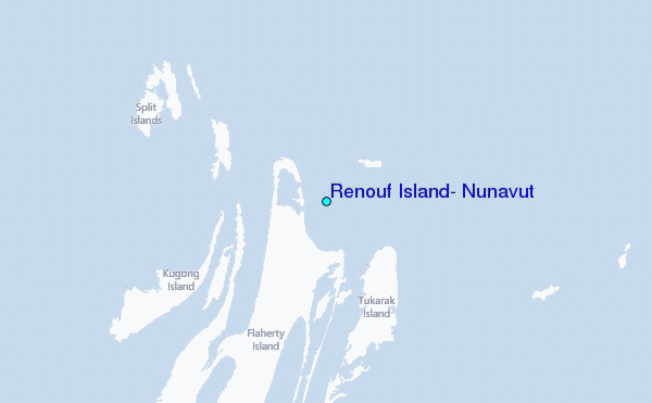