
| Distance / Altitude | Location | Report Date / Time | Live Weather | Wind | Gusts | Temp. | Visibility | Cloud |
|---|---|---|---|---|---|---|---|---|
| 2 km SSW / 15 m | SHIP3676 (Marine) | 2026-07-26 04:00 local (2026/07/26 08:00 GMT) | light winds from the E (7.5600000000000005 km/h at 90) | — | - km | |||
| 6 km W / 59 m | St-augustin de Desmaures () | 2026-07-26 06:01 local (2026/07/26 10:01 GMT) | dry | calm (5 km/h at 222) | 18°C | - | - - 0 | |
| 7 km E / 63 m | Charny wx (Canada) | 2026-07-26 06:18 local (2026/07/26 10:18 GMT) | dry | calm (0 km/h at ) | 18°C | - | - - 0 | |
| 7 km N / 217 m | Quebec Airport (Quebec) | 2026-07-26 05:00 local (2026/07/26 09:00 GMT) | Dry and partly cloudy | light winds from the NNE.(Wind varies from 340 to 060 degs) (6 km/h at 20) | 16°C | 48 | few scattered broken | |
| 10 km NE / 91 m | Ste -Foy (U. Laval)- Que (Canada) | 2026-07-26 06:00 local (2026/07/26 10:00 GMT) | - | wind obs. (11 kph from 200 degs) was rejected (- km/h at -) | — | - | - | |
| 2 km SSW / 3 m | SHIP3209 (Marine) | 2026-07-26 04:00 local (2026/07/26 08:00 GMT) | light winds from the E (8 km/h at 90) | — | - | |||
| 2 km SSW / 15 m | SHIP6246 (Marine) | 2026-07-26 04:00 local (2026/07/26 08:00 GMT) | light winds from the E (7.5600000000000005 km/h at 90) | — | - km | |||
| 2 km SSW / 3 m | SHIP338 (Marine) | 2026-07-26 04:00 local (2026/07/26 08:00 GMT) | light winds from the E (8 km/h at 90) | — | - | |||
| 6 km W / 59 m | St-augustin de Desmaures () | 2026-07-26 06:01 local (2026/07/26 10:01 GMT) | dry | calm (5 km/h at 222) | 18°C | - | - - 0 | |
| 7 km E / 63 m | Charny wx (Canada) | 2026-07-26 06:18 local (2026/07/26 10:18 GMT) | dry | calm (0 km/h at ) | 18°C | - | - - 0 |
| Contours: | Roads & Rivers: | Select a
tide station / surf break / city |
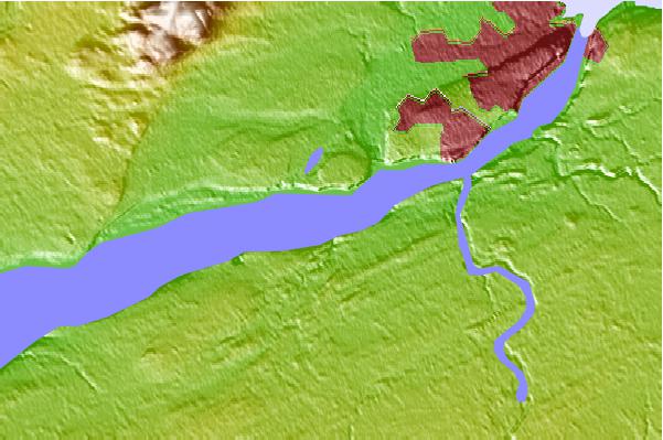
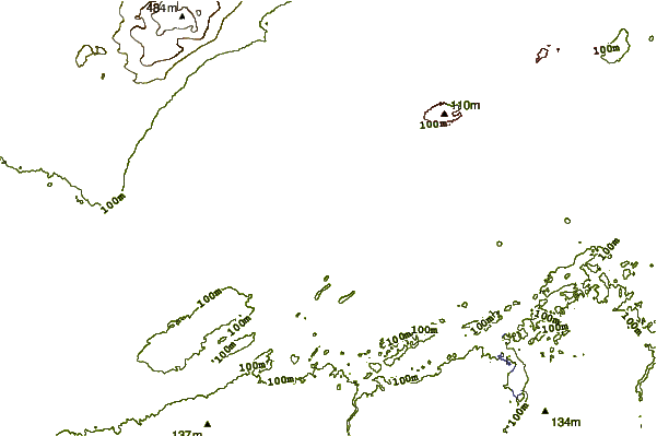
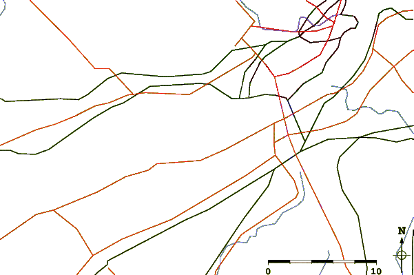
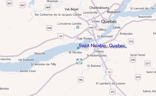
Use this relief map to navigate to tide stations, surf breaks and cities that are in the area of Saint Nicolas, Quebec.
Other Nearby Locations' tide tables and tide charts to Saint Nicolas, Quebec:
click location name for more details
 Surf breaks close to Saint Nicolas, Quebec:
|
||
|---|---|---|
| Closest surf break | Trayhan's | 216 mi |
| Second closest surf break | Popham Read | 220 mi |
| Third closest surf break | Doc Browns | 225 mi |
| Fourth closest surf break | Higgins Beach | 225 mi |
| Fifth closest surf break | Pine Point | 226 mi |


 Nearest
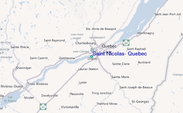