
| Distance / Altitude | Location | Report Date / Time | Live Weather | Wind | Gusts | Temp. | Visibility | Cloud |
|---|---|---|---|---|---|---|---|---|
| 12 km E / 30 m | St. Peters- Pei (Canada) | 2026-07-26 07:00 local (2026/07/26 10:00 GMT) | no report | moderate winds from the SW (22 km/h at 220) | 22°C | - | - - - | |
| 12 km E / 30 m | St. Peters Airport (Prince Edward Island) | 2026-07-26 06:00 local (2026/07/26 09:00 GMT) | - | light winds from the SSE (6 km/h at 150) | 14°C | 0.0 | ||
| 34 km SW / 49 m | Charlottetown A- Pei (Canada) | 2026-07-26 07:00 local (2026/07/26 10:00 GMT) | no report | - (- km/h at -) | 21°C | - | - - - | |
| 35 km SW / 53 m | Harrington (Prince edward islan) | 2026-07-26 07:00 local (2026/07/26 10:00 GMT) | no report | fresh winds from the WSW (29 km/h at 240) | 21°C | 0.0 | - - - | |
| 35 km SW / 217 m | Charlottetown Airport (Prince Edward Islan) | 2026-07-26 06:00 local (2026/07/26 09:00 GMT) | - | calm (4 km/h at 150) | 15°C | 24 | few | |
| 38 km SW / 61 m | Winsloe South (Canada) | 2026-07-26 07:42 local (2026/07/26 10:42 GMT) | dry | calm (0 km/h at 165) | 17°C | - | - - 0 | |
| 46 km SSW / 33 m | Meadow Bank wx (Canada) | 2026-07-26 05:01 local (2026/07/26 08:01 GMT) | dry | calm (0 km/h at ) | 15°C | - | - - 0 | |
| 54 km WSW / 97 m | Glen Valley wx (Canada) | 2026-07-26 07:01 local (2026/07/26 10:01 GMT) | - | calm (0 km/h at 270) | 21°C | - | - - 0 | |
| 57 km E / 8 m | East Point (Aut)- Pei (Canada) | 2026-07-26 07:00 local (2026/07/26 10:00 GMT) | no report | light winds from the SW (18 km/h at 220) | 22°C | - | - | |
| 59 km E / 217 m | East Point Airport (Prince Edward Islan) | 2026-07-26 06:00 local (2026/07/26 09:00 GMT) | - | light winds from the S (6 km/h at 170) | 16°C | 0.0 |
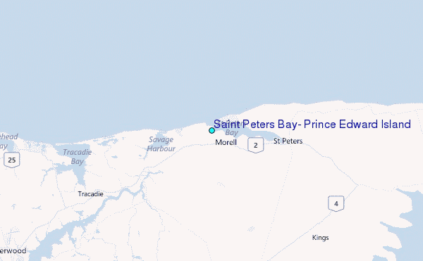
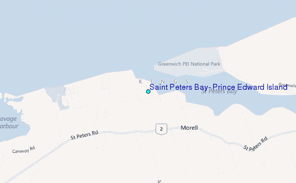
Choose Saint Peters Bay, Prince Edward Island Location Map Zoom:
| Contours: | Roads & Rivers: | Select a
tide station / surf break / city |
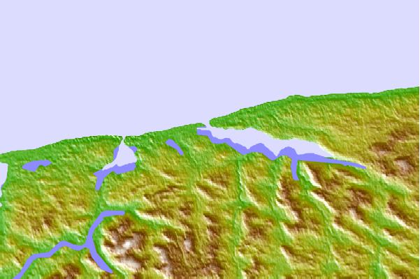
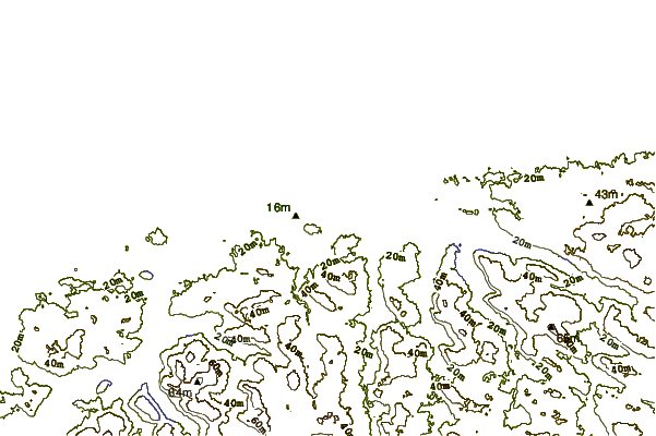
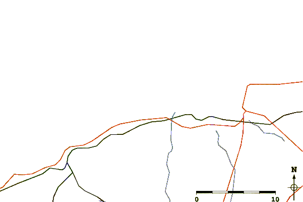
Use this relief map to navigate to tide stations, surf breaks and cities that are in the area of Saint Peters Bay, Prince Edward Island.
Other Nearby Locations' tide tables and tide charts to Saint Peters Bay, Prince Edward Island:
click location name for more details
 Surf breaks close to Saint Peters Bay, Prince Edward Island:
|
||
|---|---|---|
| Closest surf break | Ingonish Beach | 112 mi |
| Second closest surf break | Michaud Point | 115 mi |
| Third closest surf break | Martinique | 123 mi |
| Fourth closest surf break | Lawrencetown Left Point | 127 mi |
| Fifth closest surf break | Lawrencetown Reef | 127 mi |


 Nearest
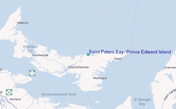