
| Distance / Altitude | Location | Report Date / Time | Live Weather | Wind | Gusts | Temp. | Visibility | Cloud |
|---|---|---|---|---|---|---|---|---|
| 17 km E / 15 m | Halifax (Canada) | 2026-07-26 07:35 local (2026/07/26 10:35 GMT) | dry | calm (2 km/h at 64) | 14°C | - | - - 0 | |
| 22 km SSE / 15 m | SHIP5812 (Marine) | 2026-07-26 05:00 local (2026/07/26 08:00 GMT) | light winds from the NNE (7.5600000000000005 km/h at 30) | — | - km | |||
| 22 km SSE / 3 m | SHIP3444 (Marine) | 2026-07-26 06:00 local (2026/07/26 09:00 GMT) | calm (4 km/h at 50) | 13°C | - | |||
| 22 km SSE / 15 m | SHIP1553 (Marine) | 2026-07-26 06:00 local (2026/07/26 09:00 GMT) | calm (3.6 km/h at 50) | — | - km | |||
| 22 km SSE / 15 m | SHIP5463 (Marine) | 2026-07-26 05:00 local (2026/07/26 08:00 GMT) | light winds from the NNE (7.5600000000000005 km/h at 30) | — | - km | |||
| 22 km SSE / 15 m | SHIP2540 (Marine) | 2026-07-26 06:00 local (2026/07/26 09:00 GMT) | calm (3.6 km/h at 50) | — | - km | |||
| 22 km SSE / 3 m | SHIP4498 (Marine) | 2026-07-26 05:00 local (2026/07/26 08:00 GMT) | light winds from the NNE (8 km/h at 30) | 12°C | - | |||
| 22 km SSE / 15 m | SHIP2038 (Marine) | 2026-07-26 05:00 local (2026/07/26 08:00 GMT) | light winds from the NNE (7.5600000000000005 km/h at 30) | — | - km | |||
| 22 km SSE / 15 m | SHIP2942 (Marine) | 2026-07-26 05:00 local (2026/07/26 08:00 GMT) | light winds from the NNE (7.5600000000000005 km/h at 30) | — | - km | |||
| 22 km SSE / 3 m | SHIP3157 (Marine) | 2026-07-26 05:00 local (2026/07/26 08:00 GMT) | light winds from the NNE (8 km/h at 30) | 12°C | - |
| Contours: | Roads & Rivers: | Select a
tide station / surf break / city |
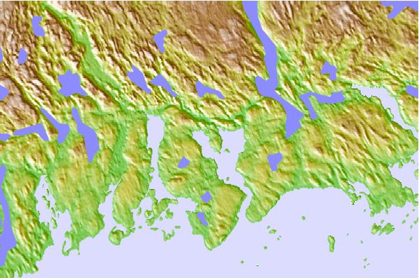
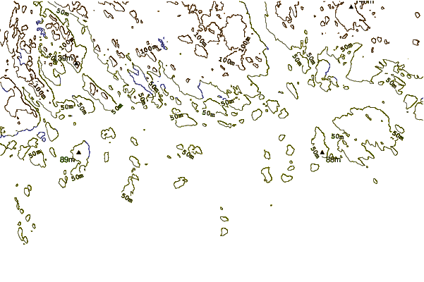
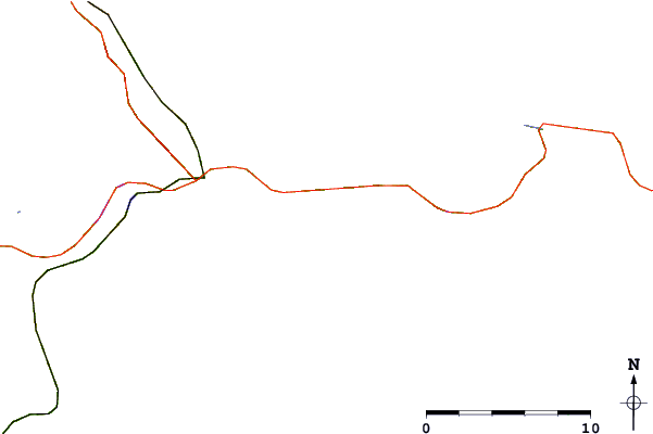
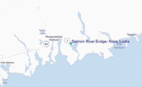
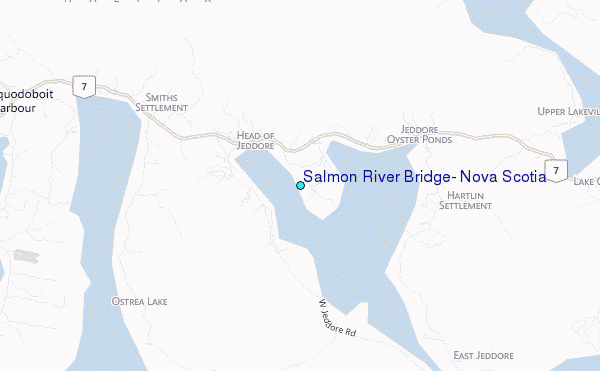
Use this relief map to navigate to tide stations, surf breaks and cities that are in the area of Salmon River Bridge, Nova Scotia.
Other Nearby Locations' tide tables and tide charts to Salmon River Bridge, Nova Scotia:
click location name for more details
 Surf breaks close to Salmon River Bridge, Nova Scotia:
|
||
|---|---|---|
| Closest surf break | Martinique | 8 mi |
| Second closest surf break | Lawrencetown Left Point | 16 mi |
| Third closest surf break | Lawrencetown Reef | 17 mi |
| Fourth closest surf break | Lawrencetown Right Point | 17 mi |
| Fifth closest surf break | Backyards | 21 mi |


 Nearest
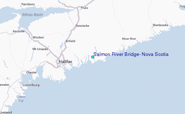