
| Distance / Altitude | Location | Report Date / Time | Live Weather | Wind | Gusts | Temp. | Visibility | Cloud |
|---|---|---|---|---|---|---|---|---|
| 124 km SW / 217 m | Rankin Inlet Airport (N.w. Territories) | 2026-07-26 05:00 local (2026/07/26 09:00 GMT) | Dry and cloudy | light winds from the WNW (17 km/h at 300) | 11°C | 24 | broken overcast | |
| 124 km SW / 32 m | Rankin Inlet Airport (Canada) | 2026-07-26 05:00 local (2026/07/26 09:00 GMT) | no report | - (- km/h at -) | 3°C | - | - - - | |
| 308 km W / 51 m | Baker Lake Climate- NU (Canada) | 2026-07-26 06:00 local (2026/07/26 10:00 GMT) | no report | light winds from the N (11 km/h at 360) | 3°C | - | - | |
| 310 km W / 214 m | Baker Lake Airport (N.w. Territories) | 2026-07-26 05:00 local (2026/07/26 09:00 GMT) | - | light winds from the NNW (7 km/h at 330) | 10°C | 16 | few | |
| 333 km SSW / 10 m | Arviat A- NU (Canada) | 2026-07-26 06:00 local (2026/07/26 10:00 GMT) | no report | light winds from the WNW (18 km/h at 290) | 5°C | - | - - - | |
| 333 km SSW / 215 m | Arviat Airport (N.w. Territories) | 2026-07-26 05:00 local (2026/07/26 09:00 GMT) | Dry and cloudy | light winds from the WNW (6 km/h at 300) | 8°C | 14 | overcast | |
| 341 km ENE / 22 m | Coral Harbour Airport (Canada) | 2026-07-26 06:00 local (2026/07/26 10:00 GMT) | no report | - (- km/h at -) | 3°C | - | - - - | |
| 564 km S / 216 m | Churchill Airport (Manitoba) | 2026-07-26 05:00 local (2026/07/26 09:00 GMT) | - | light winds from the WNW (11 km/h at 290) | 9°C | 24 | few | |
| 566 km S / 28 m | Churchill Climate- Man (Canada) | 2026-07-26 06:00 local (2026/07/26 10:00 GMT) | no report | light winds from the WNW (11 km/h at 290) | 7°C | - | - - - | |
| 569 km N / 17 m | Kugaaruk Climate (Canada) | 2026-07-26 06:00 local (2026/07/26 10:00 GMT) | - | light winds from the N (7 km/h at 10) | — | - | - - - |
| Contours: | Roads & Rivers: | Select a
tide station / surf break / city |
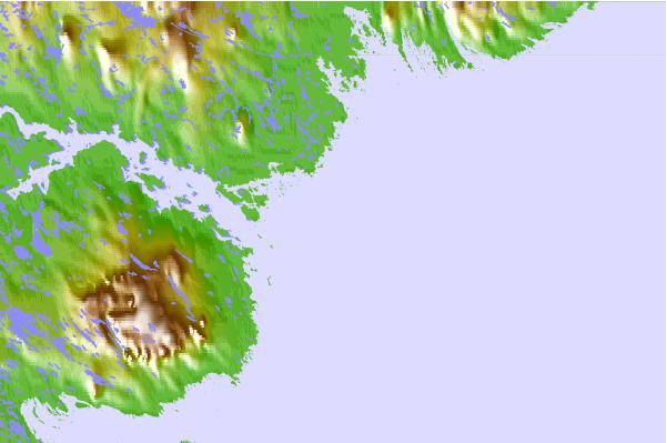
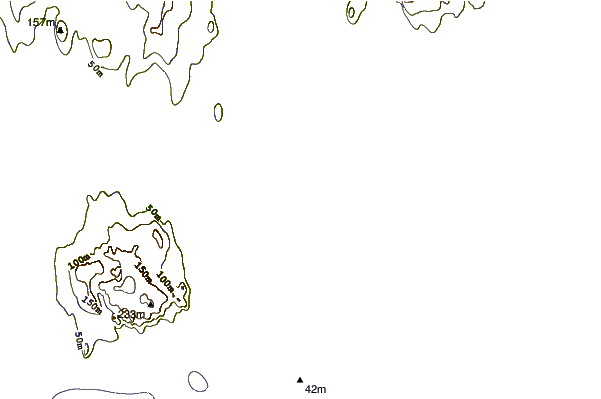
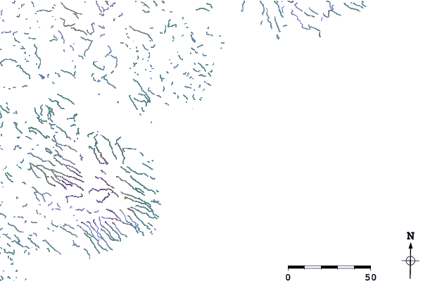
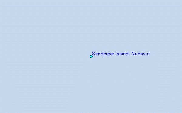
Use this relief map to navigate to tide stations, surf breaks and cities that are in the area of Sandpiper Island, Nunavut.
Other Nearby Locations' tide tables and tide charts to Sandpiper Island, Nunavut:
click location name for more details
 Surf breaks close to Sandpiper Island, Nunavut:
|
||
|---|---|---|
| Closest surf break | Marathon | 1025 mi |
| Second closest surf break | Keweenaw Peninsula | 1106 mi |
| Third closest surf break | Apostle Islands | 1131 mi |
| Fourth closest surf break | Stoney Point | 1139 mi |
| Fifth closest surf break | Alona Bay | 1144 mi |


 Nearest
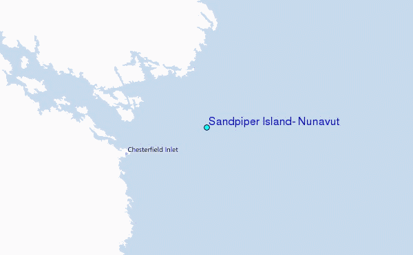