
| Distance / Altitude | Location | Report Date / Time | Live Weather | Wind | Gusts | Temp. | Visibility | Cloud |
|---|---|---|---|---|---|---|---|---|
| 42 km E / 445 m | Ishigakijima (Japan) | 2026-07-10 06:00 local (2026/07/09 21:00 GMT) | Dry and partly cloudy | fresh winds from the NNE (35 km/h at 30) | — | 9.0 | few broken broken | |
| 46 km SE / 0 m | lightning 37km SSW of Ishigaki (Japan) | 2026-07-10 06:15 local (2026/07/09 21:15 GMT) | Thunderstorm | (- km/h at -) | — | |||
| 60 km ENE / 77 m | Akaishi (Japan) | 2026-07-10 07:00 local (2026/07/09 22:00 GMT) | - | calm (0 km/h at 105) | 30°C | - | - - 0 | |
| 80 km WSW / 17 m | Yonaguni Airport (Japan) | 2026-07-10 06:00 local (2026/07/09 21:00 GMT) | Dry and partly cloudy | strong winds from the N (39 km/h at 10) | 29°C | 7.0 | few scattered broken | |
| 101 km ENE / 9 m | Tarama Island (Japan) | 2026-07-10 06:00 local (2026/07/09 21:00 GMT) | Dry and cloudy | moderate winds from the NNE.(Wind varies from 350 to 070 degs) (22 km/h at 30) | 29°C | broken broken overcast | ||
| 151 km ENE / 386 m | Shimoji Shima Island Airport (Japan) | 2026-07-10 06:00 local (2026/07/09 21:00 GMT) | Dry and partly cloudy | strong winds from the NE (39 km/h at 50) | — | 10.0 | few scattered broken | |
| 160 km ENE / 445 m | Miyakojima Island Airport (Japan) | 2026-07-10 06:00 local (2026/07/09 21:00 GMT) | Light rain | strong winds from the NE (41 km/h at 40) | — | 3.0 | scattered broken | |
| 222 km W / 74 m | Tianliaogang wx (Taiwan) | 2026-07-10 07:05 local (2026/07/09 22:05 GMT) | - | calm (0 km/h at 0) | 30°C | - | - - 0 | |
| 222 km WNW / 102 m | Pengjia YU (China) | 2026-07-10 06:50 local (2026/07/09 21:50 GMT) | no report | fresh winds from the S (29 km/h at 190) | 29°C | 20 | - | |
| 231 km SW / 126 m | Chih-Hsiao-Ts'un wx (Taiwan) | 2026-07-10 07:47 local (2026/07/09 22:47 GMT) | dry | calm (0 km/h at 151) | 27°C | - | - - 0 |
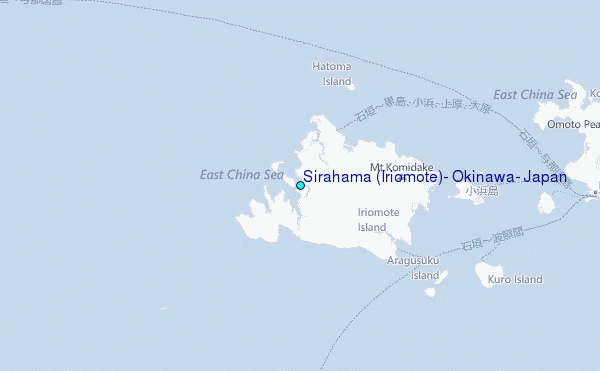
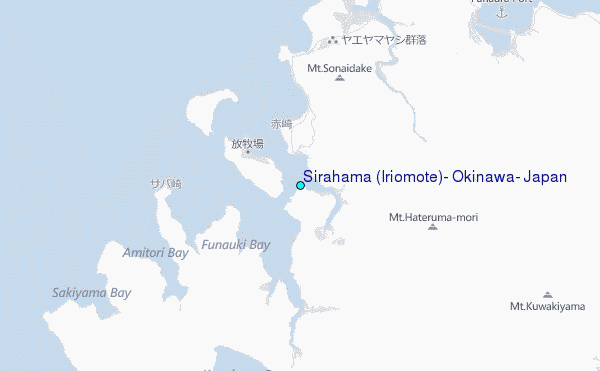
Choose Sirahama (Iriomote), Okinawa, Japan Location Map Zoom:
| Contours: | Roads & Rivers: | Select a
tide station / surf break / city |
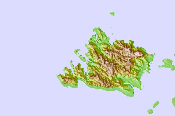
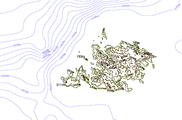
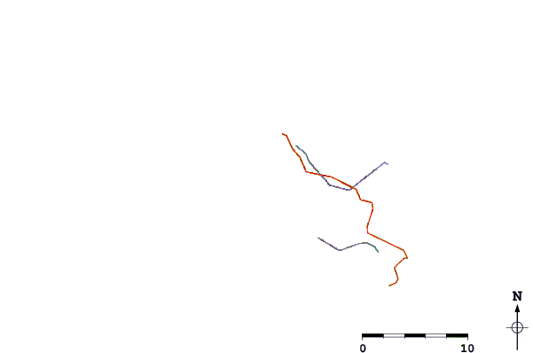
Use this relief map to navigate to tide stations, surf breaks and cities that are in the area of Sirahama (Iriomote), Okinawa, Japan.
Other Nearby Locations' tide tables and tide charts to Sirahama (Iriomote), Okinawa, Japan:
click location name for more details
 Surf breaks close to Sirahama (Iriomote), Okinawa, Japan:
|
||
|---|---|---|
| Closest surf break | Sunrise | 121 mi |
| Second closest surf break | Fulung Beach | 124 mi |
| Third closest surf break | Lightning Bolt | 124 mi |
| Fourth closest surf break | The Core | 125 mi |
| Fifth closest surf break | Barrels | 126 mi |


 Nearest
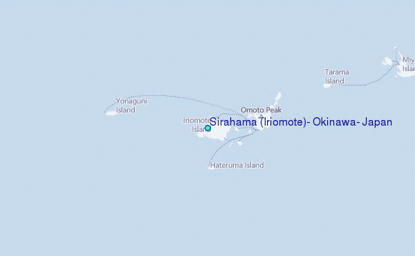