
| Distance / Altitude | Location | Report Date / Time | Live Weather | Wind | Gusts | Temp. | Visibility | Cloud |
|---|---|---|---|---|---|---|---|---|
| 79 km E / 194 m | La Scie, Newfoundland (Canada) | 2026-07-26 07:30 local (2026/07/26 10:00 GMT) | - | wind obs. (14 kph from 230 degs) was rejected (- km/h at -) | — | - | - - - | |
| 82 km SSW / 22 m | Deer Lake Airport (Canada) | 2026-07-26 07:30 local (2026/07/26 10:00 GMT) | - | - (- km/h at -) | — | - | - - - | |
| 82 km S / 217 m | Deer Lake Airport (Newfoundland) | 2026-07-26 06:30 local (2026/07/26 09:00 GMT) | Fog shallow - | calm (0 km/h at 0) | 10°C | 24 | few | |
| 85 km SW / 68 m | Rocky Harbour- Nfld (Canada) | 2026-07-26 07:30 local (2026/07/26 10:00 GMT) | no report | wind obs. (7 kph from 250 degs) was rejected (- km/h at -) | 20°C | - | - | |
| 86 km SW / 216 m | Rocky Harbour Airport (Newfoundland) | 2026-07-26 06:30 local (2026/07/26 09:00 GMT) | - | light winds from the E (7 km/h at 100) | 15°C | 0.0 | ||
| 86 km SW / 216 m | Rocky Harbour Airport (Newfoundland) | 2026-07-26 06:30 local (2026/07/26 09:00 GMT) | - | light winds from the E (7 km/h at 100) | 15°C | 0.0 | ||
| 109 km NNE / 216 m | Englee Airport (Newfoundland) | 2026-07-26 06:30 local (2026/07/26 09:00 GMT) | - | light winds from the NW (11 km/h at 310) | 16°C | 0.0 | ||
| 109 km NNE / 30 m | Englee (Aut)- Nfld (Canada) | 2026-07-26 07:30 local (2026/07/26 10:00 GMT) | - | wind obs. (47 kph from 280 degs) was rejected (- km/h at -) | — | - | - - - | |
| 109 km SSE / 103 m | Badger (Aut)- Nfld (Canada) | 2026-07-26 07:30 local (2026/07/26 10:00 GMT) | - | wind obs. (11 kph from 220 degs) was rejected (- km/h at -) | — | - | - - - | |
| 130 km SSW / 152 m | Corner Brook (Canada) | 2026-07-26 06:30 local (2026/07/26 09:00 GMT) | no report | light winds from the S (18 km/h at 190) | 21°C | - | - - - |
| Contours: | Roads & Rivers: | Select a
tide station / surf break / city |
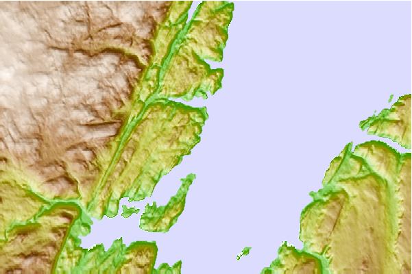
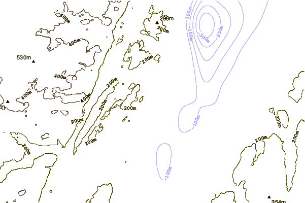
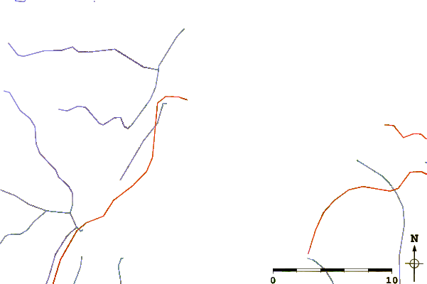
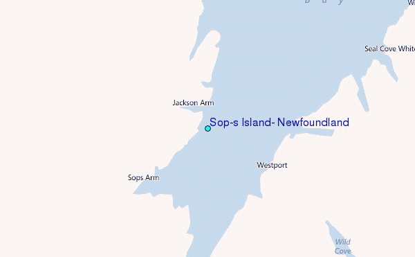
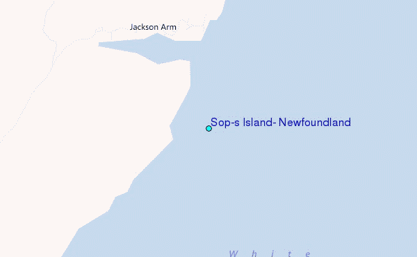
Use this relief map to navigate to tide stations, surf breaks and cities that are in the area of Sop's Island, Newfoundland.
Other Nearby Locations' tide tables and tide charts to Sop's Island, Newfoundland:
click location name for more details
 Surf breaks close to Sop's Island, Newfoundland:
|
||
|---|---|---|
| Closest surf break | Ingonish Beach | 277 mi |
| Second closest surf break | Kennington Cove | 313 mi |
| Third closest surf break | Michaud Point | 347 mi |
| Fourth closest surf break | Martinique | 465 mi |
| Fifth closest surf break | Lawrencetown Left Point | 473 mi |


 Nearest
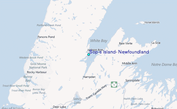