
| Distance / Altitude | Location | Report Date / Time | Live Weather | Wind | Gusts | Temp. | Visibility | Cloud |
|---|---|---|---|---|---|---|---|---|
| 118 km SW / 503 m | Parc National Des Pingualuit- Que (Canada) | 2026-07-26 05:00 local (2026/07/26 09:00 GMT) | - | moderate winds from the WSW (22 km/h at 240) | — | - | - | |
| 286 km NNE / 34 m | Iqaluit (Canada) | 2026-07-26 06:00 local (2026/07/26 10:00 GMT) | no report | calm (4 km/h at 150) | 2°C | - | - | |
| 287 km NNE / 217 m | Frobisher/Iqaluit Airport (N.w. Territories) | 2026-07-26 05:00 local (2026/07/26 09:00 GMT) | Light rain | moderate winds from the SSE (22 km/h at 150) | 2°C | 13 | overcast | |
| 357 km SW / 339 m | Puvirnituq Airport (Quebec) | 2026-07-26 05:42 local (2026/07/26 09:42 GMT) | Dry and partly cloudy | moderate winds from the S (22 km/h at 190) | — | 14 | few broken broken | |
| 388 km WNW / 217 m | Cape Dorset Airport (N.w. Territories) | 2026-07-26 05:00 local (2026/07/26 09:00 GMT) | Dry and cloudy | light winds from the E (15 km/h at 100) | 3°C | 0.0 | overcast | |
| 389 km WNW / 50 m | Cape Dorset Climate- NU (Canada) | 2026-07-26 06:00 local (2026/07/26 10:00 GMT) | no report | moderate winds from the ENE (22 km/h at 70) | 0°C | - | - - - | |
| 417 km S / 171 m | Riviere Aux Feuilles- Que (Canada) | 2026-07-26 06:00 local (2026/07/26 10:00 GMT) | no report | strong winds from the W (40 km/h at 260) | 4°C | - | - | |
| 424 km SSE / 123 m | Kuujjuaq- Ua- Que (Canada) | 2026-07-26 05:40 local (2026/07/26 09:40 GMT) | - | - (- km/h at -) | — | - | - | |
| 425 km SSE / 216 m | Kuujjuaq Airport (Quebec) | 2026-07-26 05:41 local (2026/07/26 09:41 GMT) | Moderate rain | light winds from the NW.(Wind varies from 270 to 340 degs) (9 km/h at 320) | 13°C | 5 | scattered overcast | |
| 473 km ENE / 3 m | SHIP373 (Marine) | 2026-07-26 04:00 local (2026/07/26 08:00 GMT) | moderate winds from the E (28 km/h at 100) | 1°C | - |
| Contours: | Roads & Rivers: | Select a
tide station / surf break / city |
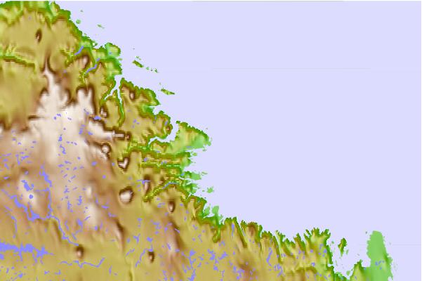
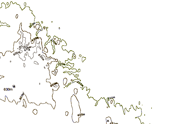
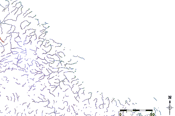
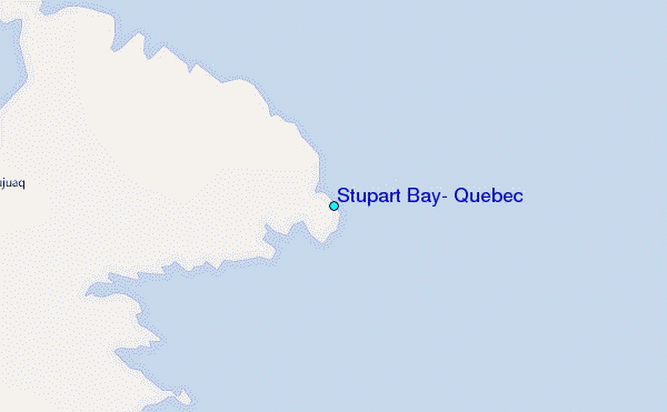
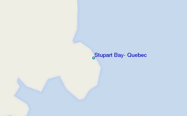
Use this relief map to navigate to tide stations, surf breaks and cities that are in the area of Stupart Bay, Quebec.
Other Nearby Locations' tide tables and tide charts to Stupart Bay, Quebec:
click location name for more details
 Surf breaks close to Stupart Bay, Quebec:
|
||
|---|---|---|
| Closest surf break | Marathon | 1063 mi |
| Second closest surf break | Alona Bay | 1124 mi |
| Third closest surf break | Ingonish Beach | 1124 mi |
| Fourth closest surf break | Bayfield | 1175 mi |
| Fifth closest surf break | Keweenaw Peninsula | 1175 mi |


 Nearest
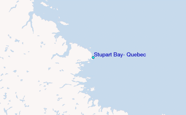