
| Distance / Altitude | Location | Report Date / Time | Live Weather | Wind | Gusts | Temp. | Visibility | Cloud |
|---|---|---|---|---|---|---|---|---|
| 6 km S / 251 m | Salliut Airport (Quebec) | 2026-07-25 17:00 local (2026/07/25 21:00 GMT) | Light rain | light winds from the NE (11 km/h at 50) | — | 16 | few broken | |
| 145 km SE / 503 m | Parc National Des Pingualuit- Que (Canada) | 2026-07-25 18:00 local (2026/07/25 22:00 GMT) | no report | wind obs. (22 kph from 240 degs) was rejected (- km/h at -) | -1°C | - | - | |
| 227 km N / 217 m | Cape Dorset Airport (N.w. Territories) | 2026-07-25 18:32 local (2026/07/25 22:32 GMT) | Light rain | light winds from the E (13 km/h at 100) | 5°C | 14 | overcast | |
| 229 km N / 50 m | Cape Dorset Climate- NU (Canada) | 2026-07-25 19:00 local (2026/07/25 23:00 GMT) | no report | moderate winds from the ENE (22 km/h at 70) | 0°C | - | - - - | |
| 258 km S / 339 m | Puvirnituq Airport (Quebec) | 2026-07-25 18:00 local (2026/07/25 22:00 GMT) | Dry and cloudy | fresh winds from the WNW (33 km/h at 290) | 11°C | 14 | overcast | |
| 391 km SE / 229 m | Kangirsuk Airport (Quebec) | 2026-07-25 17:00 local (2026/07/25 21:00 GMT) | Light rain | strong winds from the E (41 km/h at 90) | 4°C | 5 | overcast | |
| 398 km ENE / 34 m | Iqaluit (Canada) | 2026-07-25 18:00 local (2026/07/25 22:00 GMT) | no report | calm (4 km/h at 150) | 2°C | - | - | |
| 400 km ENE / 217 m | Frobisher/Iqaluit Airport (N.w. Territories) | 2026-07-25 18:00 local (2026/07/25 22:00 GMT) | no report | calm (4 km/h at 150) | 2°C | 48 | few few broken | |
| 441 km S / 217 m | Inukjuak Airport (Quebec) | 2026-07-25 18:00 local (2026/07/25 22:00 GMT) | no report | strong winds from the W (43 km/h at 260) | 3°C | 14 | few - - | |
| 446 km W / 215 m | Coral Harbour Airport (N.w. Territories) | 2026-07-25 18:00 local (2026/07/25 22:00 GMT) | Drizzle | light winds from the ENE (19 km/h at 70) | 10°C | 19 | broken broken overcast |
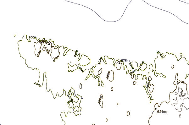
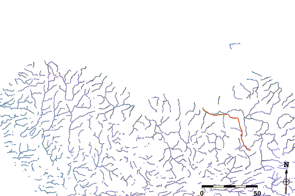
| Contours: | Roads & Rivers: | Select a
tide station / surf break / city |
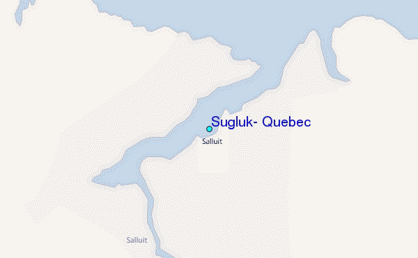
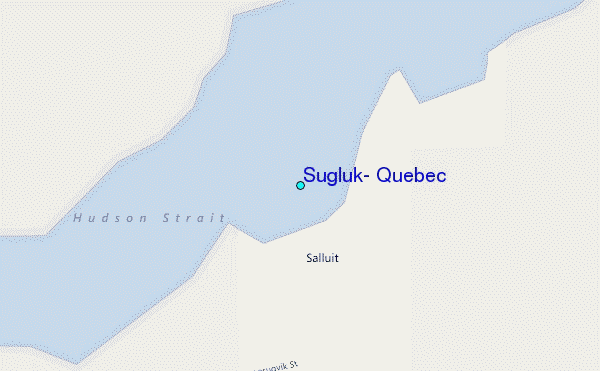
Use this relief map to navigate to tide stations, surf breaks and cities that are in the area of Sugluk, Quebec.
Other Nearby Locations' tide tables and tide charts to Sugluk, Quebec:
click location name for more details
 Surf breaks close to Sugluk, Quebec:
|
||
|---|---|---|
| Closest surf break | Marathon | 1022 mi |
| Second closest surf break | Alona Bay | 1099 mi |
| Third closest surf break | Keweenaw Peninsula | 1131 mi |
| Fourth closest surf break | Au Sable Point | 1151 mi |
| Fifth closest surf break | Grand Marias | 1151 mi |


 Nearest
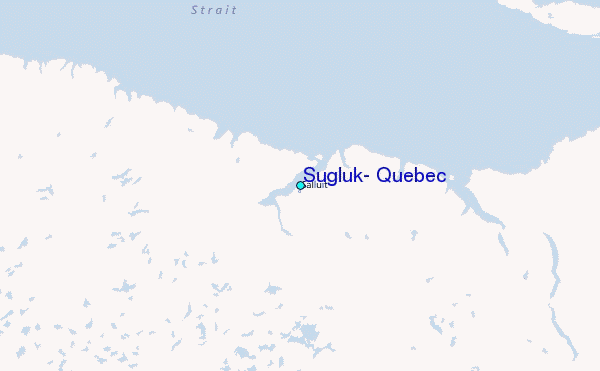