
| Distance / Altitude | Location | Report Date / Time | Live Weather | Wind | Gusts | Temp. | Visibility | Cloud |
|---|---|---|---|---|---|---|---|---|
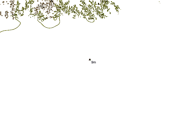
| 3 km SSW / 9 m | Takoradi (afb) (Ghana) | 2026-07-09 18:00 local (2026/07/09 18:00 GMT) | Dry and partly cloudy | light winds from the SW (11 km/h at 230) | 26°C | 10.0 | broken | |
| 192 km ENE / 197 m | Accra/Kotoka International Airport (Ghana) | 2026-07-09 18:00 local (2026/07/09 18:00 GMT) | Dry and partly cloudy | moderate winds from the SW (26 km/h at 220) | 26°C | 10.0 | broken broken | |
| 203 km N / 293 m | Kumasi (Ghana) | 2026-07-09 18:00 local (2026/07/09 18:00 GMT) | Dry and partly cloudy | light winds from the SW (7 km/h at 230) | 29°C | 10.0 | scattered | |
| 232 km NE / 90 m | Somanya USED (Ghana) | 2026-07-09 19:00 local (2026/07/09 19:00 GMT) | - | calm (0 km/h at 133) | 26°C | - | - - 0 | |
| 244 km WSW / 218 m | Abidjan Port Bou Airport (Cote D'ivoire) | 2026-07-09 18:30 local (2026/07/09 18:30 GMT) | Dry and partly cloudy | moderate winds from the SW (22 km/h at 230) | 25°C | 8.0 | few scattered broken | |
| 253 km NNE / 93 m | lightning 34km N of Mpraeso (Ghana) | 2026-07-09 18:02 local (2026/07/09 18:02 GMT) | Thunderstorm | (- km/h at -) | — | |||
| 296 km NNE / 149 m | lightning 74km NNE of Agogo (Ghana) | 2026-07-09 17:45 local (2026/07/09 17:45 GMT) | Thunderstorm | (- km/h at -) | — | |||
| 297 km N / 329 m | Techiman NOG-Farm (Ghana) | 2026-07-09 18:00 local (2026/07/09 18:00 GMT) | - | calm (0 km/h at 181) | 26°C | - | - - 0 | |
| 307 km NE / 76 m | lightning 17km SE of Ho (Ghana) | 2026-07-09 17:03 local (2026/07/09 17:03 GMT) | Thunderstorm | (- km/h at -) | — | |||
| 312 km NNE / 291 m | lightning 67km SW of Kete Krachi (Ghana) | 2026-07-09 19:34 local (2026/07/09 19:34 GMT) | Thunderstorm | (- km/h at -) | — |
| Contours: | Roads & Rivers: | Select a
tide station / surf break / city |
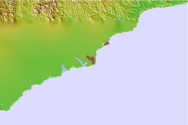
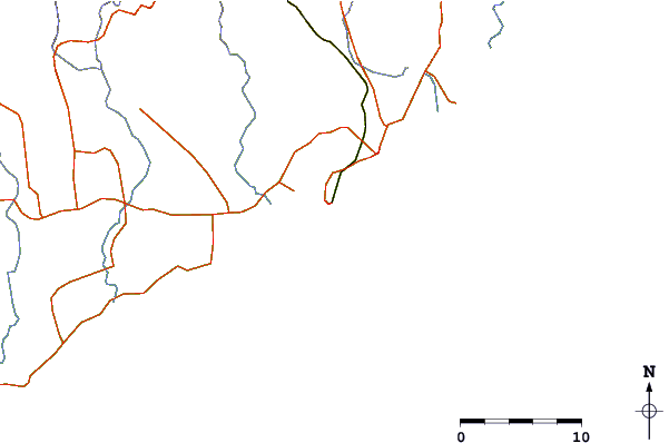
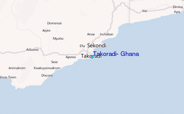
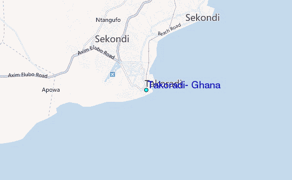
Use this relief map to navigate to tide stations, surf breaks and cities that are in the area of Takoradi, Ghana.
Other Nearby Locations' tide tables and tide charts to Takoradi, Ghana:
click location name for more details
 Surf breaks close to Takoradi, Ghana:
|
||
|---|---|---|
| Closest surf break | Takoradi | 1 mi |
| Second closest surf break | Fort Sebastian | 10 mi |
| Third closest surf break | Busua Beach | 12 mi |
| Fourth closest surf break | Dixcove | 16 mi |
| Fifth closest surf break | Akwaadi | 20 mi |


 Nearest
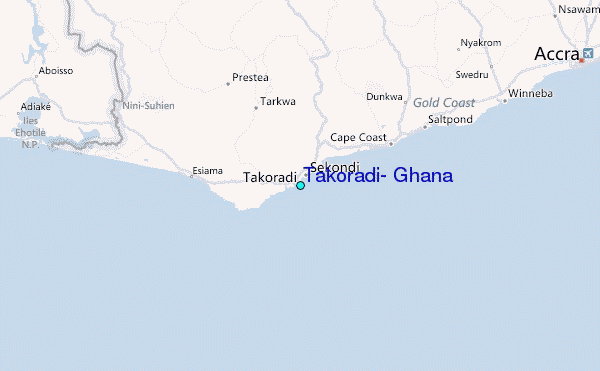