
| Distance / Altitude | Location | Report Date / Time | Live Weather | Wind | Gusts | Temp. | Visibility | Cloud |
|---|---|---|---|---|---|---|---|---|
| 36 km NE / 8 m | Harenburg wx (Germany) | 2026-07-10 00:03 local (2026/07/09 22:03 GMT) | - | calm (5 km/h at 315) | 16°C | - | - - 0 | |
| 37 km E / 212 m | Hohn Air Force Base Airport (Germany) | 2026-07-10 01:20 local (2026/07/09 23:20 GMT) | - | light winds from the WNW (9 km/h at 300) | 15°C | 10.0 | ||
| 37 km ENE / 18 m | Kropp wx (Germany) | 2026-07-10 02:00 local (2026/07/10 00:00 GMT) | dry | calm (0 km/h at 0) | 14°C | - | - - 0 | |
| 40 km S / 1 m | Marnerdeich wx (Germany) | 2026-07-10 00:42 local (2026/07/09 22:42 GMT) | dry | calm (0 km/h at 0) | 16°C | - | - - 0 | |
| 40 km ENE / 215 m | Schleswig Air Base Airport (Germany) | 2026-07-10 01:20 local (2026/07/09 23:20 GMT) | Dry and partly cloudy | light winds from the NW (13 km/h at 320) | 15°C | 10.0 | broken broken broken | |
| 45 km ENE / 32 m | Schleswig (10035 -1) (Germany) | 2026-07-10 02:00 local (2026/07/10 00:00 GMT) | no report | wind obs. (7 kph from 230 degs) was rejected (- km/h at -) | 16°C | 50 | - | |
| 46 km E / 12 m | Buedelsdorf (Germany) | 2026-07-10 01:09 local (2026/07/09 23:09 GMT) | dry | calm (5 km/h at 309) | 15°C | - | - - 0 | |
| 46 km S / 3 m | SHIP913 (Marine) | 2026-07-10 02:00 local (2026/07/10 00:00 GMT) | moderate winds from the NNW (22 km/h at 340) | 16°C | - | |||
| 46 km S / 3 m | SHIP7688 (Marine) | 2026-07-10 02:00 local (2026/07/10 00:00 GMT) | moderate winds from the NNW (22 km/h at 340) | 16°C | - | |||
| 46 km S / 15 m | SHIP2126 (Marine) | 2026-07-10 02:00 local (2026/07/10 00:00 GMT) | moderate winds from the NNW (21.6 km/h at 340) | 19°C | - km |
| Contours: | Roads & Rivers: | Select a
tide station / surf break / city |
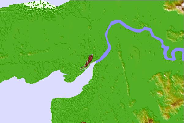

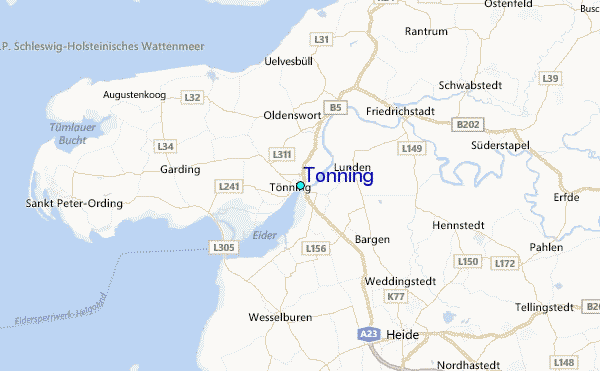
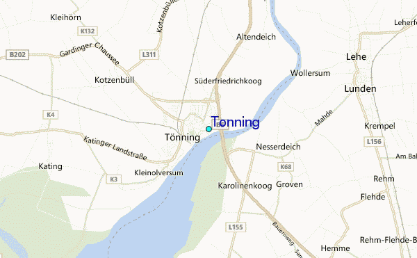
Use this relief map to navigate to tide stations, surf breaks and cities that are in the area of Tonning.
Other Nearby Locations' tide tables and tide charts to Tonning:
click location name for more details
 Surf breaks close to Tonning:
|
||
|---|---|---|
| Closest surf break | St Peter Ording | 15 mi |
| Second closest surf break | Kilometerstein Vier Hornum (Sylt) | 40 mi |
| Third closest surf break | Damp | 45 mi |
| Fourth closest surf break | Sansibar Rantum (Sylt) | 46 mi |
| Fifth closest surf break | Oase zur Sonne Westerland (Sylt) | 47 mi |


 Nearest
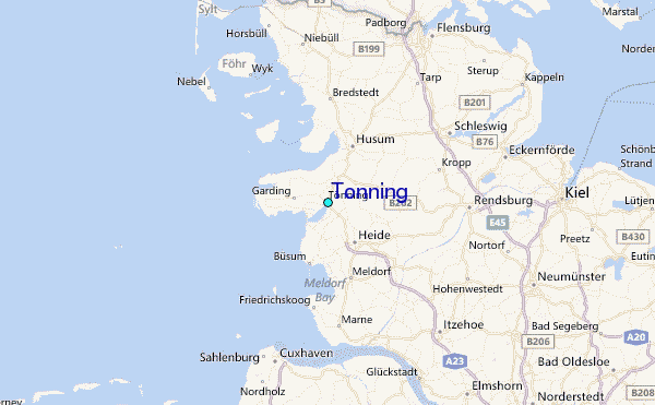