
| Distance / Altitude | Location | Report Date / Time | Live Weather | Wind | Gusts | Temp. | Visibility | Cloud |
|---|---|---|---|---|---|---|---|---|
| 16 km WNW / 215 m | Sand Heads Airport (British Columbia) | 2026-07-02 12:00 local (2026/07/02 19:00 GMT) | - | moderate winds from the SSE (28 km/h at 160) | 13°C | 0.0 | ||
| 17 km WNW / 11 m | Sandheads Cs- BC (Canada) | 2026-07-02 12:00 local (2026/07/02 19:00 GMT) | no report | wind obs. (14 kph from 340 degs) was rejected (- km/h at -) | 18°C | - | - - - | |
| 19 km N / 217 m | Vancouver International Airport (British Columbia) | 2026-07-02 12:00 local (2026/07/02 19:00 GMT) | Light rain | light winds from the SE (17 km/h at 130) | 13°C | 24 | broken overcast | |
| 21 km N / 2 m | Vancouver Sea Island Ccg- BC (Canada) | 2026-07-02 12:00 local (2026/07/02 19:00 GMT) | no report | calm (4 km/h at 360) | 12°C | - | - | |
| 22 km WSW / 3 m | BUOY-46303 (Marine) | 2026-07-02 13:00 local (2026/07/02 20:00 GMT) | moderate winds from the ESE (25 km/h at 120) | 13°C | - | |||
| 22 km N / 4 m | Vancouver Int l A- BC (Canada) | 2026-07-02 12:00 local (2026/07/02 19:00 GMT) | no report | - (- km/h at -) | 13°C | - | - - - | |
| 25 km S / 178 m | Saturna Capmon- BC (Canada) | 2026-07-02 12:00 local (2026/07/02 19:00 GMT) | no report | calm (4 km/h at 240) | 16°C | - | - - - | |
| 25 km SSE / 24 m | Saturna Island Cs- BC (Canada) | 2026-07-02 11:00 local (2026/07/02 18:00 GMT) | no report | calm (4 km/h at 250) | 15°C | - | - | |
| 26 km E / 13 m | White Rock Campbell Scientific- BC (Canada) | 2026-07-02 11:00 local (2026/07/02 18:00 GMT) | no report | calm (0 km/h at 190) | 13°C | - | - - - | |
| 26 km N / 80 m | Victoria-Fraserview wx (Canada) | 2026-07-02 13:17 local (2026/07/02 20:17 GMT) | - | calm (5 km/h at 113) | 13°C | - | - - 0 |
| Contours: | Roads & Rivers: | Select a
tide station / surf break / city |
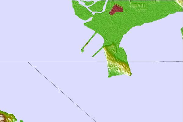
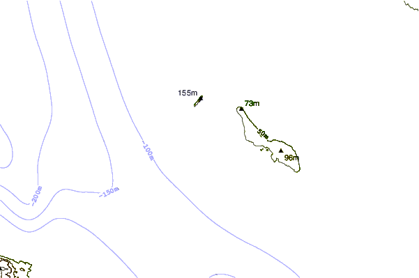
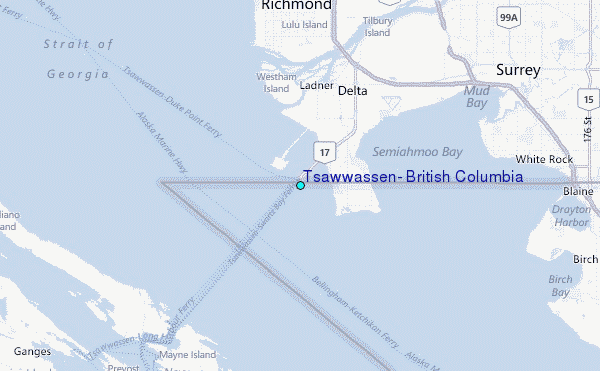
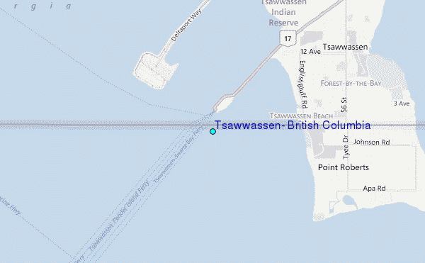
Use this relief map to navigate to tide stations, surf breaks and cities that are in the area of Tsawwassen, British Columbia.
Other Nearby Locations' tide tables and tide charts to Tsawwassen, British Columbia:
click location name for more details
 Surf breaks close to Tsawwassen, British Columbia:
|
||
|---|---|---|
| Closest surf break | Ambleside Park | 22 mi |
| Second closest surf break | Fort. Ebey | 56 mi |
| Third closest surf break | Jordan River | 56 mi |
| Fourth closest surf break | China Beach | 59 mi |
| Fifth closest surf break | Sombrio Beach | 61 mi |


 Nearest
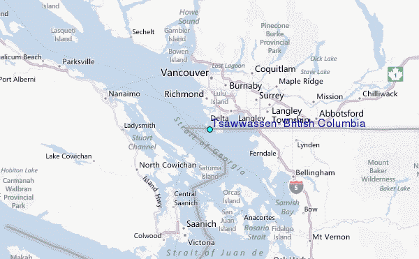