
| Distance / Altitude | Location | Report Date / Time | Live Weather | Wind | Gusts | Temp. | Visibility | Cloud |
|---|---|---|---|---|---|---|---|---|
| 1 km SW / 6 m | Tuktoyaktuk- Nwt (Canada) | 2026-07-25 17:00 local (2026/07/25 23:00 GMT) | no report | wind obs. (7 kph from 20 degs) was rejected (- km/h at -) | 1°C | - | - - - | |
| 2 km WNW / 155 m | Tuktoyaktuk Airport (N.w. Territories) | 2026-07-25 17:00 local (2026/07/25 23:00 GMT) | - | light winds from the NNE.(Wind varies from 350 to 080 degs) (7 km/h at 20) | 8°C | 24 | few few | |
| 4 km S / 15 m | SHIP6588 (Marine) | 2026-07-25 17:00 local (2026/07/25 23:00 GMT) | calm (0.0 km/h at 360) | — | - km | |||
| 4 km S / 15 m | SHIP5953 (Marine) | 2026-07-25 18:00 local (2026/07/26 00:00 GMT) | calm (0.0 km/h at 360) | — | - km | |||
| 4 km S / 15 m | SHIP2331 (Marine) | 2026-07-25 17:00 local (2026/07/25 23:00 GMT) | calm (0.0 km/h at 360) | — | - km | |||
| 4 km S / 15 m | SHIP4751 (Marine) | 2026-07-25 17:00 local (2026/07/25 23:00 GMT) | calm (0.0 km/h at 360) | — | - km | |||
| 4 km S / 15 m | SHIP2049 (Marine) | 2026-07-25 17:00 local (2026/07/25 23:00 GMT) | calm (0.0 km/h at 360) | — | - km | |||
| 6 km SE / 15 m | SHIP4559 (Marine) | 2026-07-25 16:00 local (2026/07/25 22:00 GMT) | light winds from the N (11.16 km/h at 350) | — | - km | |||
| 6 km SE / 3 m | SHIP6973 (Marine) | 2026-07-25 16:00 local (2026/07/25 22:00 GMT) | light winds from the WNW (9 km/h at 290) | 7°C | - | |||
| 6 km SE / 15 m | SHIP2307 (Marine) | 2026-07-25 17:00 local (2026/07/25 23:00 GMT) | light winds from the WNW (7.5600000000000005 km/h at 300) | — | - km |
| Contours: | Roads & Rivers: | Select a
tide station / surf break / city |
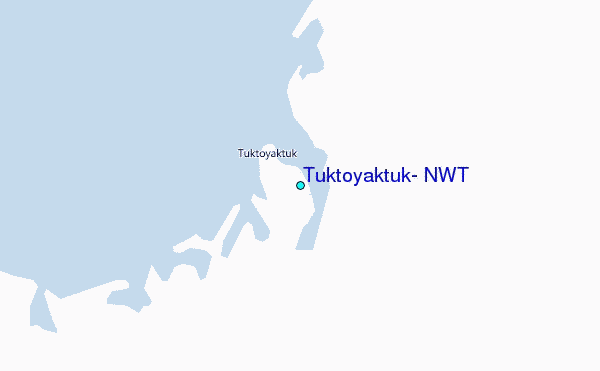
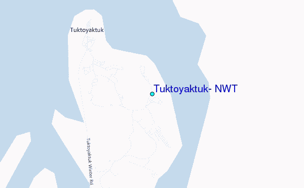
Use this relief map to navigate to tide stations, surf breaks and cities that are in the area of Tuktoyaktuk, N.W.T.
Other Nearby Locations' tide tables and tide charts to Tuktoyaktuk, N.W.T:
click location name for more details
 Surf breaks close to Tuktoyaktuk, N.W.T:
|
||
|---|---|---|
| Closest surf break | Graveyards | 712 mi |
| Second closest surf break | Ocean Cape | 713 mi |
| Third closest surf break | Cannon Beach | 715 mi |
| Fourth closest surf break | Bird Point (Tidal Bore) | 800 mi |
| Fifth closest surf break | Termination Point | 989 mi |


 Nearest
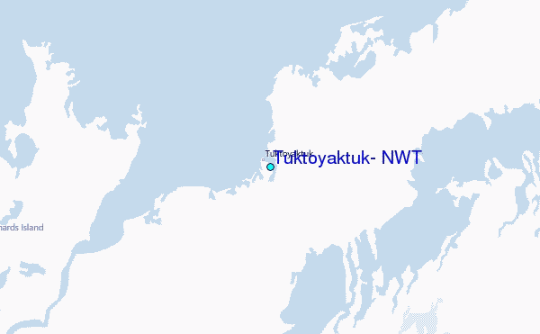