
| Distance / Altitude | Location | Report Date / Time | Live Weather | Wind | Gusts | Temp. | Visibility | Cloud |
|---|---|---|---|---|---|---|---|---|
| 64 km NE / 416 m | Amami Airport (Japan) | 2026-07-10 06:00 local (2026/07/09 21:00 GMT) | Mist - | fresh winds from the E (31 km/h at 90) | 29°C | 4.1 | scattered scattered broken | |
| 74 km ENE / 6 m | Kikai Island Airport (Japan) | 2026-07-10 06:00 local (2026/07/09 21:00 GMT) | Dry and partly cloudy | moderate winds from the E (24 km/h at 100) | 29°C | 10.0 | scattered scattered broken | |
| 87 km SSW / 29 m | Okinoerabu/okier (Japan) | 2026-07-10 06:00 local (2026/07/09 21:00 GMT) | Dry and partly cloudy | fresh winds from the E (30 km/h at 90) | 29°C | 6.0 | scattered scattered broken | |
| 137 km SSW / 16 m | Yoron Island Airport (Japan) | 2026-07-10 06:00 local (2026/07/09 21:00 GMT) | Dry and cloudy | fresh winds from the E (31 km/h at 90) | 29°C | 10.0 | broken overcast | |
| 191 km S / 0 m | lightning 109km E of Okinawa (Japan) | 2026-07-10 05:18 local (2026/07/09 20:18 GMT) | Thunderstorm | (- km/h at -) | — | |||
| 236 km SSW / 217 m | Kadena Air Force Base Airport (Japan) | 2026-07-10 06:25 local (2026/07/09 21:25 GMT) | Dry and partly cloudy | strong winds from the ENE (44 km/h at 70) | 30°C | 16 | broken broken | |
| 239 km SSW / 13 m | Shido wx (Japan) | 2026-07-10 05:38 local (2026/07/09 20:38 GMT) | dry | wind obs. (8 kph from 0 degs) was rejected (- km/h at -) | 29°C | - | - - 0 | |
| 245 km SSW / 468 m | Futenma Airport (Japan) | 2026-07-10 05:56 local (2026/07/09 20:56 GMT) | Dry and cloudy | fresh winds from the ENE (33 km/h at 70) | 29°C | 14 | scattered broken overcast | |
| 260 km SSW / 218 m | Naha Airport (Japan) | 2026-07-10 06:30 local (2026/07/09 21:30 GMT) | Shower - in the vicinity | strong winds from the ENE (44 km/h at 70) | 30°C | 10.0 | few scattered broken | |
| 313 km SE / 22 m | Kitadaito Island Airport (Japan) | 2026-07-10 06:00 local (2026/07/09 21:00 GMT) | Dry and partly cloudy | near gales from the E (56 km/h at 100) | 29°C | few scattered broken |
| Contours: | Roads & Rivers: | Select a
tide station / surf break / city |
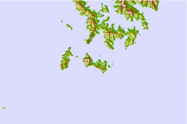
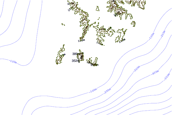

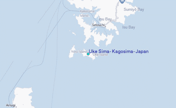
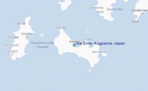
Use this relief map to navigate to tide stations, surf breaks and cities that are in the area of Uke Sima, Kagosima, Japan.
Other Nearby Locations' tide tables and tide charts to Uke Sima, Kagosima, Japan:
click location name for more details
 Surf breaks close to Uke Sima, Kagosima, Japan:
|
||
|---|---|---|
| Closest surf break | Ko-Chan (Hedo Point) | 100 mi |
| Second closest surf break | Oku | 100 mi |
| Third closest surf break | Rocky Point | 101 mi |
| Fourth closest surf break | Ada | 106 mi |
| Fifth closest surf break | Aha Rivermouth | 108 mi |


 Nearest
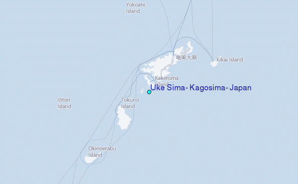