
| Distance / Altitude | Location | Report Date / Time | Live Weather | Wind | Gusts | Temp. | Visibility | Cloud |
|---|---|---|---|---|---|---|---|---|
| 2 km N / 9 m | Attawapiskat Airport (Canada) | 2026-07-26 06:00 local (2026/07/26 10:00 GMT) | Clear | light winds from the WSW.(Wind varies from 200 to 270 degs) (7 km/h at 240) | 7°C | 14 | ||
| 219 km SE / 9 m | Moosonee Airport (Ontario) | 2026-07-26 07:00 local (2026/07/26 11:00 GMT) | no report | calm (2 km/h at 240) | 8°C | 0.0 | - - - | |
| 221 km SE / 217 m | Moosonee Airport (Ontario) | 2026-07-26 06:00 local (2026/07/26 10:00 GMT) | - | calm (0 km/h at 0) | — | |||
| 274 km SW / 179 m | Ogoki Post Airport (Canada) | 2026-07-26 06:00 local (2026/07/26 10:00 GMT) | Clear | light winds from the W (7 km/h at 270) | 11°C | 14 | ||
| 304 km WNW / 11 m | Peawanuck (Aut)- Ont (Canada) | 2026-07-26 07:00 local (2026/07/26 11:00 GMT) | Dry and cloudy | light winds from the WSW.(Wind varies from 210 to 270 degs) (9 km/h at 250) | 12°C | 14 | overcast - - | |
| 325 km ENE / 217 m | La Grande Rivier Airport (Quebec) | 2026-07-26 06:00 local (2026/07/26 10:00 GMT) | Drizzle | light winds from the NW (7 km/h at 310) | 6°C | 6 | overcast | |
| 326 km ENE / 195 m | LA Grande Riviere A- Que (Canada) | 2026-07-26 07:00 local (2026/07/26 11:00 GMT) | no report | - (- km/h at -) | 6°C | - | - - - | |
| 369 km S / 396 m | Kapuskasing CDA Airport (Ontario) | 2026-07-26 06:00 local (2026/07/26 10:00 GMT) | - | light winds from the N (7 km/h at 350) | 12°C | 0.0 | ||
| 372 km S / 698 m | Nagagami Airport (Ontario) | 2026-07-26 06:00 local (2026/07/26 10:00 GMT) | - | calm (2 km/h at 40) | 15°C | 0.0 | - - - | |
| 373 km S / 264 m | Nagagami (Aut)- Ont (Canada) | 2026-07-26 07:00 local (2026/07/26 11:00 GMT) | - | calm (4 km/h at 250) | — | - | - - - |
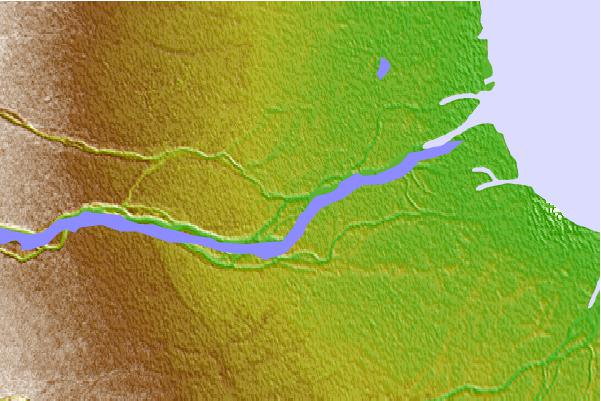
| Contours: | Roads & Rivers: | Select a
tide station / surf break / city |

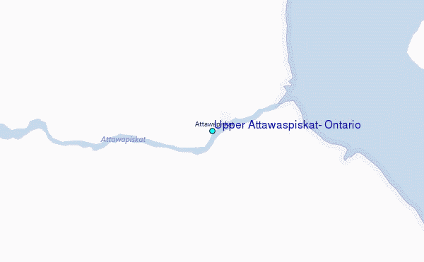
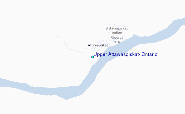
Use this relief map to navigate to tide stations, surf breaks and cities that are in the area of Upper Attawaspiskat, Ontario.
Other Nearby Locations' tide tables and tide charts to Upper Attawaspiskat, Ontario:
click location name for more details
 Surf breaks close to Upper Attawaspiskat, Ontario:
|
||
|---|---|---|
| Closest surf break | Marathon | 341 mi |
| Second closest surf break | Alona Bay | 410 mi |
| Third closest surf break | Keweenaw Peninsula | 454 mi |
| Fourth closest surf break | Au Sable Point | 462 mi |
| Fifth closest surf break | Grand Marias | 462 mi |


 Nearest
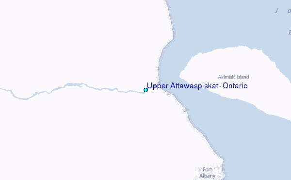