
| Distance / Altitude | Location | Report Date / Time | Live Weather | Wind | Gusts | Temp. | Visibility | Cloud |
|---|---|---|---|---|---|---|---|---|
| 11 km SE / 217 m | Oxnard Airport (California) | 2026-07-25 19:51 local (2026/07/26 02:51 GMT) | Clear | light winds from the W (7 km/h at 270) | 21°C | 13 | ||
| 21 km ESE / 216 m | Camarillo Airport (California) | 2026-07-25 19:55 local (2026/07/26 02:55 GMT) | Clear | light winds from the W (11 km/h at 260) | 23°C | 16 | ||
| 23 km SE / 217 m | Point Mugu Naval Air Station Airport (California) | 2026-07-25 19:55 local (2026/07/26 02:55 GMT) | Haze - | light winds from the W (9 km/h at 260) | 21°C | 6 | few | |
| 41 km W / 3 m | BUOY-NTBC1 (Marine) | 2026-07-25 20:36 local (2026/07/26 03:36 GMT) | calm (5 km/h at 120) | 20°C | - | |||
| 47 km NW / 1410 m | Reedley Airport (California) (California) | 2026-07-25 20:35 local (2026/07/26 03:35 GMT) | Clear | calm (0 km/h at 0) | 30°C | 14 | ||
| 51 km WSW / 3 m | East Santa Barbara Buoy (Marine) | 2026-07-25 21:30 local (2026/07/26 04:30 GMT) | light winds from the SW (14 km/h at 220) | 19°C | - | |||
| 55 km W / 218 m | Santa Barbara Airport (California) | 2026-07-25 19:53 local (2026/07/26 02:53 GMT) | Clear | wind obs. (11 kph from 140 degs) was rejected (- km/h at -) | 22°C | 11 | ||
| 58 km SSE / 3 m | Santa Monica Basin Buoy (Marine) | 2026-07-25 21:30 local (2026/07/26 04:30 GMT) | light winds from the SSE (11 km/h at 150) | 21°C | - | |||
| 61 km S / 3 m | Santa Cruz Basin- CA (Marine) | 2026-07-25 21:26 local (2026/07/26 04:26 GMT) | - (- km/h at -) | 21°C | - | |||
| 66 km WSW / 15 m | SHIP7270 (Marine) | 2026-07-25 19:00 local (2026/07/26 02:00 GMT) | moderate winds from the WNW (24.12 km/h at 290) | 20°C | - km |
| Contours: | Roads & Rivers: | Select a
tide station / surf break / city |
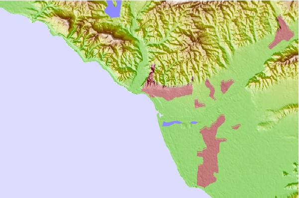
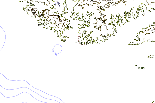
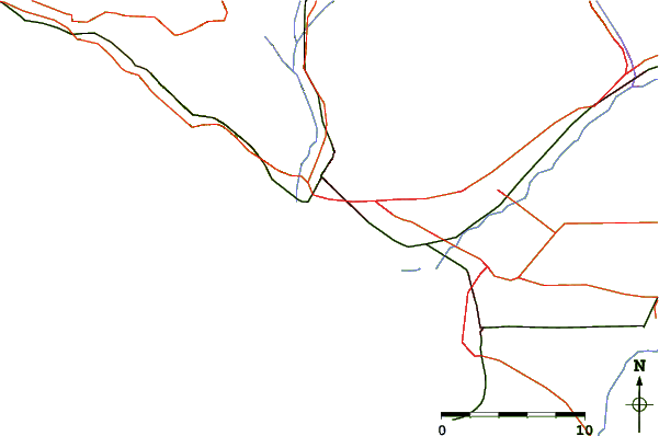
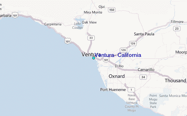
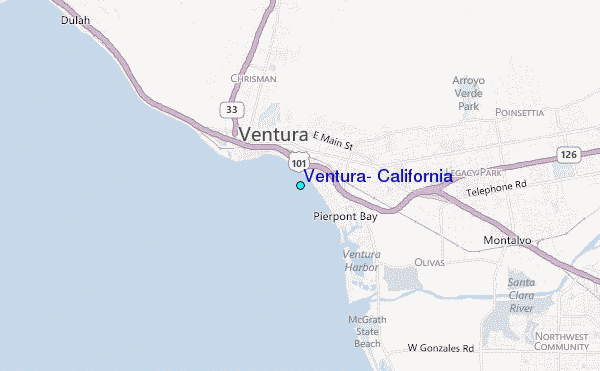
Use this relief map to navigate to tide stations, surf breaks and cities that are in the area of Ventura, California.
Other Nearby Locations' tide tables and tide charts to Ventura, California:
click location name for more details
 Surf breaks close to Ventura, California:
|
||
|---|---|---|
| Closest surf break | San Buenaventura State Beach | 0 mi |
| Second closest surf break | Ventura Point | 1 mi |
| Third closest surf break | Emma Wood State Beach | 2 mi |
| Fourth closest surf break | New Jetty/South Jetty | 2 mi |
| Fifth closest surf break | Santa Clara Rivermouth | 2 mi |


 Nearest
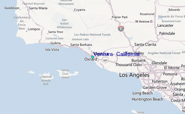