
| Distance / Altitude | Location | Report Date / Time | Live Weather | Wind | Gusts | Temp. | Visibility | Cloud |
|---|---|---|---|---|---|---|---|---|
| 15 km SSE / 3 m | Barbers Point Buoy- Kalaeloa (Marine) | 2026-07-13 17:00 local (2026/07/14 03:00 GMT) | - (- km/h at -) | 28°C | - | |||
| 19 km E / 717 m | Wheeler Air Force Base/oahu Airport (Hawaii) | 2026-07-13 15:55 local (2026/07/14 01:55 GMT) | Clear | light winds from the E (19 km/h at 100) | 28°C | 16 | ||
| 20 km SE / 218 m | Kalaeloa Airport (Hawaii) | 2026-07-13 16:53 local (2026/07/14 02:53 GMT) | - | light winds from the ENE (13 km/h at 60) | 29°C | 16 | ||
| 26 km NNE / 3 m | Waimea Bay- HI (Marine) | 2026-07-13 16:56 local (2026/07/14 02:56 GMT) | - (- km/h at -) | — | - | |||
| 26 km ESE / 3 m | BUOY-PRHH1 (Marine) | 2026-07-13 17:00 local (2026/07/14 03:00 GMT) | light winds from the N (15 km/h at 10) | 27°C | - | |||
| 26 km E / 132 m | Pacific Palisades wx (United States) | 2026-07-13 17:37 local (2026/07/14 03:37 GMT) | dry | calm (5 km/h at 37) | 26°C | - | - - 0 | |
| 29 km ESE / 218 m | Honolulu Airport (Hawaii) | 2026-07-13 15:53 local (2026/07/14 01:53 GMT) | - | fresh winds from the E (30 km/h at 90) | 29°C | 16 | few few broken | |
| 30 km SE / 3 m | Pearl Harbor Entrance- HI (Marine) | 2026-07-13 17:00 local (2026/07/14 03:00 GMT) | - (- km/h at -) | 27°C | - | |||
| 35 km SE / 3 m | SHIP7100 (Marine) | 2026-07-13 15:00 local (2026/07/14 01:00 GMT) | - (- km/h at -) | 30°C | - | |||
| 35 km SE / 3 m | SHIP4798 (Marine) | 2026-07-13 16:00 local (2026/07/14 02:00 GMT) | - (- km/h at -) | 30°C | - |
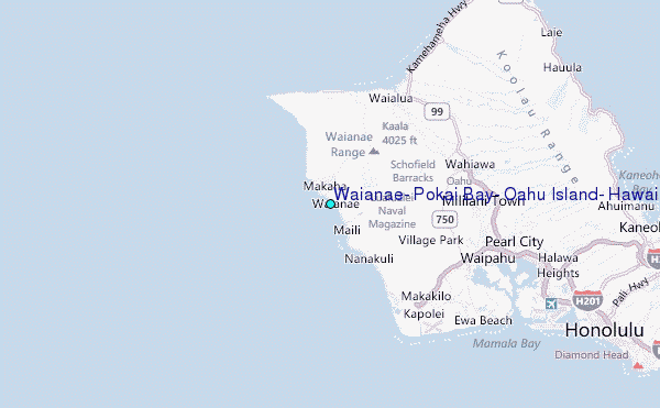
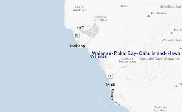
Choose Waianae, Pokai Bay, Oahu Island, Hawaii Location Map Zoom:
| Contours: | Roads & Rivers: | Select a
tide station / surf break / city |
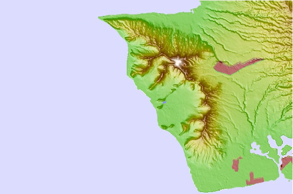
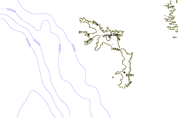
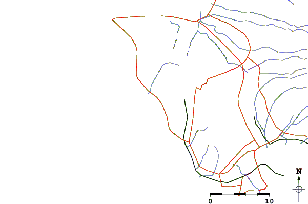
Use this relief map to navigate to tide stations, surf breaks and cities that are in the area of Waianae, Pokai Bay, Oahu Island, Hawaii.
Other Nearby Locations' tide tables and tide charts to Waianae, Pokai Bay, Oahu Island, Hawaii:
click location name for more details
 Surf breaks close to Waianae, Pokai Bay, Oahu Island, Hawaii:
|
||
|---|---|---|
| Closest surf break | Pokai Bay | 1 mi |
| Second closest surf break | Lahilahi Point | 1 mi |
| Third closest surf break | Klausmeyers | 2 mi |
| Fourth closest surf break | Maili Cloudbreak | 2 mi |
| Fifth closest surf break | Makaha | 2 mi |


 Nearest
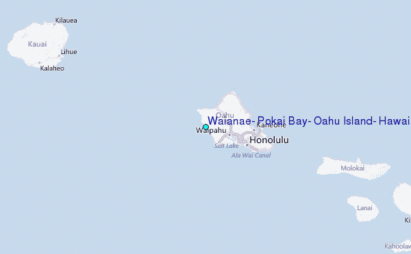