
| Distance / Altitude | Location | Report Date / Time | Live Weather | Wind | Gusts | Temp. | Visibility | Cloud |
|---|---|---|---|---|---|---|---|---|
| 14 km WNW / 15 m | SHIP6331 (Marine) | 2026-07-10 02:00 local (2026/07/10 00:00 GMT) | moderate winds from the N (21.6 km/h at 350) | 18°C | - km | |||
| 15 km ENE / 30 m | Leuchtturm Alte Weser (Germany) | 2026-07-10 03:00 local (2026/07/10 01:00 GMT) | no report | wind obs. (7 kph from 210 degs) was rejected (- km/h at -) | 14°C | - | - | |
| 30 km SW / 7 m | Langeoog wx (Germany) | 2026-07-10 02:57 local (2026/07/10 00:57 GMT) | dry | calm (0 km/h at 315) | 15°C | - | - - 0 | |
| 34 km S / 215 m | Wittmundhaven Airport (Germany) | 2026-07-10 02:20 local (2026/07/10 00:20 GMT) | - | light winds from the N (11 km/h at 360) | 16°C | 10.0 | ||
| 14 km WNW / 15 m | SHIP2122 (Marine) | 2026-07-10 02:00 local (2026/07/10 00:00 GMT) | moderate winds from the N (21.6 km/h at 350) | 18°C | - km | |||
| 14 km WNW / 3 m | SHIP2801 (Marine) | 2026-07-10 02:00 local (2026/07/10 00:00 GMT) | moderate winds from the N (22 km/h at 350) | 16°C | - | |||
| 14 km WNW / 3 m | SHIP5426 (Marine) | 2026-07-10 02:00 local (2026/07/10 00:00 GMT) | moderate winds from the N (22 km/h at 350) | 16°C | - | |||
| 14 km WNW / 3 m | SHIP7079 (Marine) | 2026-07-10 02:00 local (2026/07/10 00:00 GMT) | moderate winds from the N (22 km/h at 350) | 16°C | - | |||
| 14 km WNW / 3 m | SHIP906 (Marine) | 2026-07-10 02:00 local (2026/07/10 00:00 GMT) | moderate winds from the N (22 km/h at 350) | 16°C | - | |||
| 15 km ENE / 30 m | Leuchtturm Alte Weser (Germany) | 2026-07-10 03:00 local (2026/07/10 01:00 GMT) | no report | wind obs. (7 kph from 210 degs) was rejected (- km/h at -) | 14°C | - | - |
| Contours: | Roads & Rivers: | Select a
tide station / surf break / city |
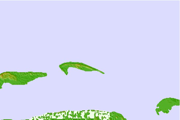

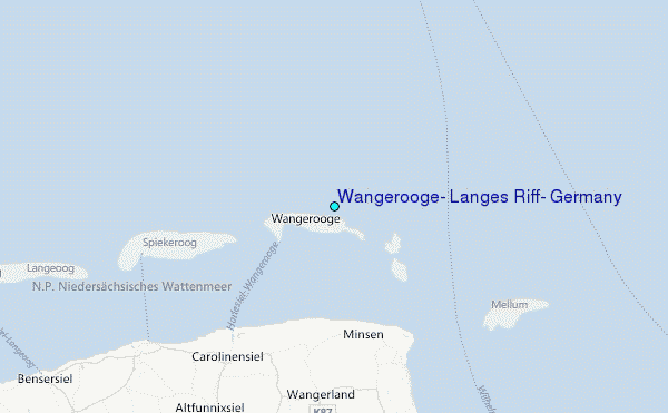
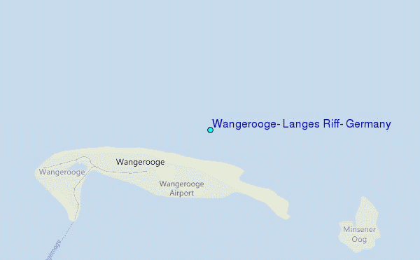
Use this relief map to navigate to tide stations, surf breaks and cities that are in the area of Wangerooge, Langes Riff, Germany.
Other Nearby Locations' tide tables and tide charts to Wangerooge, Langes Riff, Germany:
click location name for more details
 Surf breaks close to Wangerooge, Langes Riff, Germany:
|
||
|---|---|---|
| Closest surf break | Norderney | 30 mi |
| Second closest surf break | St Peter Ording | 45 mi |
| Third closest surf break | FKK Stand | 50 mi |
| Fourth closest surf break | Jugendbad | 52 mi |
| Fifth closest surf break | Borkum Nordstrand | 54 mi |


 Nearest
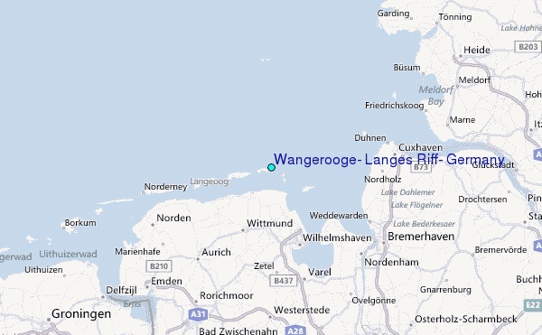