
| Distance / Altitude | Location | Report Date / Time | Live Weather | Wind | Gusts | Temp. | Visibility | Cloud |
|---|---|---|---|---|---|---|---|---|
| 40 km W / 550 m | Blorenge (United Kingdom) | 2026-06-26 22:00 local (2026/06/26 21:00 GMT) | - | moderate winds from the WSW (28 km/h at 257) | 15°C | - | - - 0 | |
| 43 km SE / 145 m | Lyneham (United Kingdom) | 2026-06-26 22:00 local (2026/06/26 21:00 GMT) | no report | - (- km/h at -) | 19°C | - | - | |
| 44 km S / 219 m | Bristol/Lulsgate Airport (United Kingdom) | 2026-06-26 21:20 local (2026/06/26 20:20 GMT) | Dry and partly cloudy | light winds from the W (11 km/h at 260) | 18°C | 10.0 | no cloud | |
| 50 km E / 194 m | Fairford RAF Airport (United Kingdom) | 2026-06-26 20:55 local (2026/06/26 19:55 GMT) | Clear | light winds from the W (9 km/h at 260) | 25°C | 10.0 | ||
| 56 km SSW / 3 m | Weston Bay Waverider (Marine) | 2026-06-26 21:18 local (2026/06/26 20:18 GMT) | - (- km/h at -) | — | - | |||
| 58 km SSE / 210 m | Edington Airstrip (United Kingdom) | 2026-06-26 22:00 local (2026/06/26 21:00 GMT) | - | calm (4 km/h at 287) | 17°C | - | - - 0 | |
| 63 km E / 217 m | Brize Norton RAF Airport (United Kingdom) | 2026-06-26 21:20 local (2026/06/26 20:20 GMT) | - | light winds from the WSW (6 km/h at 240) | — | 0.0 | ||
| 69 km SW / 80 m | Llantrithyd Park (United Kingdom) | 2026-06-26 22:00 local (2026/06/26 21:00 GMT) | - | calm (0 km/h at 211) | 16°C | - | - - 0 | |
| 72 km SW / 209 m | Cardiff-Wales Airport (United Kingdom) | 2026-06-26 21:20 local (2026/06/26 20:20 GMT) | Dry and partly cloudy | light winds from the WNW (15 km/h at 290) | 18°C | 10.0 | no cloud | |
| 75 km SSW / 3 m | Hinkley Point 2 Waverider (Marine) | 2026-06-26 22:00 local (2026/06/26 21:00 GMT) | - (- km/h at -) | — | - |
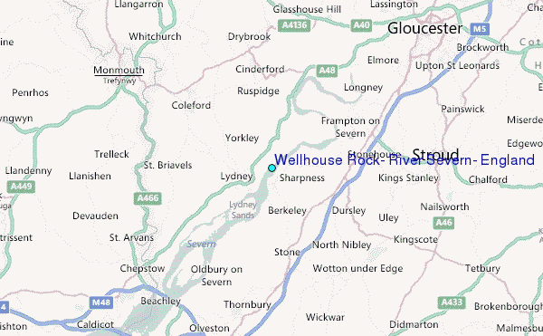
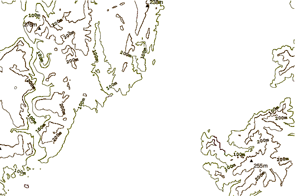
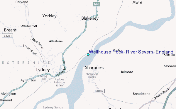
Choose Wellhouse Rock, River Severn, England Location Map Zoom:
| Contours: | Roads & Rivers: | Select a
tide station / surf break / city |
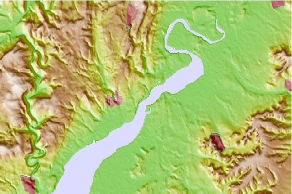
Use this relief map to navigate to tide stations, surf breaks and cities that are in the area of Wellhouse Rock, River Severn, England.
Other Nearby Locations' tide tables and tide charts to Wellhouse Rock, River Severn, England:
click location name for more details
 Surf breaks close to Wellhouse Rock, River Severn, England:
|
||
|---|---|---|
| Closest surf break | The Knap | 42 mi |
| Second closest surf break | Gileston | 47 mi |
| Third closest surf break | Llantwit Major | 50 mi |
| Fourth closest surf break | Southerndown | 52 mi |
| Fifth closest surf break | Ogmore-by-Sea | 53 mi |


 Nearest
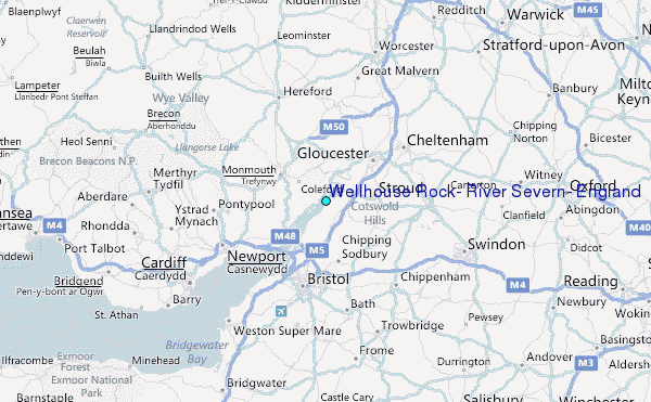