
| Distance / Altitude | Location | Report Date / Time | Live Weather | Wind | Gusts | Temp. | Visibility | Cloud |
|---|---|---|---|---|---|---|---|---|
| 19 km ENE / 15 m | SHIP2305 (Marine) | 2026-07-09 22:00 local (2026/07/09 20:00 GMT) | - (- km/h at -) | — | - km | |||
| 30 km SE / 1 m | Sandstedt wx (Germany) | 2026-07-10 00:38 local (2026/07/09 22:38 GMT) | - | light winds from the NW (8 km/h at 324) | 17°C | - | - - 0 | |
| 32 km WSW / 215 m | Wittmundhaven Airport (Germany) | 2026-07-09 23:20 local (2026/07/09 21:20 GMT) | - | light winds from the NW (6 km/h at 320) | 16°C | 10.0 | ||
| 19 km ENE / 3 m | SHIP6781 (Marine) | 2026-07-09 22:00 local (2026/07/09 20:00 GMT) | - (- km/h at -) | 17°C | - | |||
| 19 km ENE / 3 m | SHIP3235 (Marine) | 2026-07-09 22:00 local (2026/07/09 20:00 GMT) | - (- km/h at -) | 17°C | - | |||
| 19 km ENE / 15 m | SHIP5301 (Marine) | 2026-07-09 22:00 local (2026/07/09 20:00 GMT) | - (- km/h at -) | — | - km | |||
| 19 km ENE / 15 m | SHIP4709 (Marine) | 2026-07-09 22:00 local (2026/07/09 20:00 GMT) | - (- km/h at -) | — | - km | |||
| 19 km ENE / 3 m | SHIP1268 (Marine) | 2026-07-09 22:00 local (2026/07/09 20:00 GMT) | - (- km/h at -) | 17°C | - | |||
| 19 km ENE / 3 m | SHIP4075 (Marine) | 2026-07-09 22:00 local (2026/07/09 20:00 GMT) | - (- km/h at -) | 17°C | - | |||
| 19 km ENE / 3 m | SHIP61 (Marine) | 2026-07-09 22:00 local (2026/07/09 20:00 GMT) | - (- km/h at -) | 17°C | - |
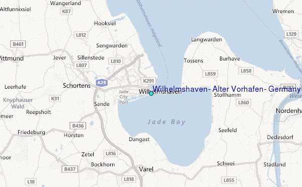
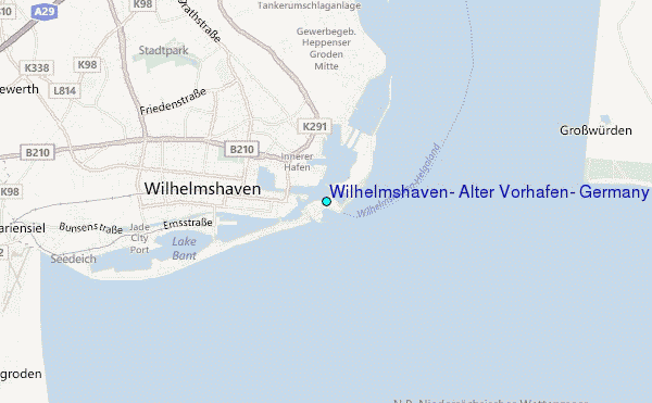
Choose Wilhelmshaven, Alter Vorhafen, Germany Location Map Zoom:
| Contours: | Roads & Rivers: | Select a
tide station / surf break / city |
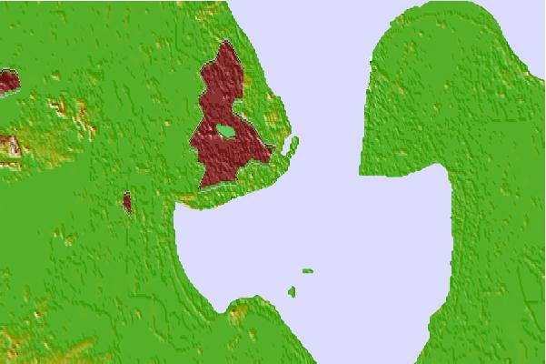

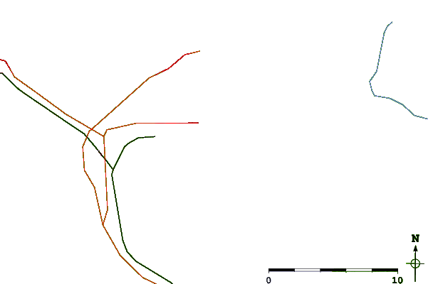
Use this relief map to navigate to tide stations, surf breaks and cities that are in the area of Wilhelmshaven, Alter Vorhafen, Germany.
Other Nearby Locations' tide tables and tide charts to Wilhelmshaven, Alter Vorhafen, Germany:
click location name for more details
 Surf breaks close to Wilhelmshaven, Alter Vorhafen, Germany:
|
||
|---|---|---|
| Closest surf break | Norderney | 42 mi |
| Second closest surf break | FKK Stand | 58 mi |
| Third closest surf break | St Peter Ording | 59 mi |
| Fourth closest surf break | Jugendbad | 60 mi |
| Fifth closest surf break | Borkum Weststrand | 62 mi |


 Nearest
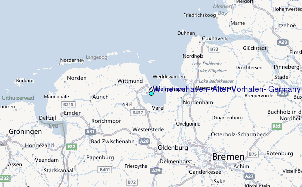