
| Distance / Altitude | Location | Report Date / Time | Live Weather | Wind | Gusts | Temp. | Visibility | Cloud |
|---|---|---|---|---|---|---|---|---|
| 4 km N / 3 m | SHIP7039 (Marine) | 2026-07-26 00:00 local (2026/07/26 04:00 GMT) | calm (5 km/h at 30) | — | - | |||
| 4 km N / 3 m | SHIP2127 (Marine) | 2026-07-26 00:00 local (2026/07/26 04:00 GMT) | calm (5 km/h at 30) | — | - | |||
| 4 km N / 3 m | SHIP351 (Marine) | 2026-07-26 00:00 local (2026/07/26 04:00 GMT) | calm (5 km/h at 30) | — | - | |||
| 4 km N / 15 m | SHIP4790 (Marine) | 2026-07-26 00:00 local (2026/07/26 04:00 GMT) | calm (5.4 km/h at 30) | — | - km | |||
| 4 km N / 3 m | SHIP5790 (Marine) | 2026-07-26 00:00 local (2026/07/26 04:00 GMT) | calm (5 km/h at 30) | — | - | |||
| 4 km N / 15 m | SHIP8095 (Marine) | 2026-07-26 00:00 local (2026/07/26 04:00 GMT) | calm (5.4 km/h at 30) | — | - km | |||
| 9 km ENE / 3 m | SHIP1084 (Marine) | 2026-07-26 00:00 local (2026/07/26 04:00 GMT) | calm (4 km/h at 310) | — | - | |||
| 9 km ENE / 3 m | SHIP4678 (Marine) | 2026-07-26 00:00 local (2026/07/26 04:00 GMT) | calm (4 km/h at 310) | — | - | |||
| 9 km ENE / 15 m | SHIP2735 (Marine) | 2026-07-26 00:00 local (2026/07/26 04:00 GMT) | calm (3.6 km/h at 310) | — | - km | |||
| 11 km SSW / 15 m | SHIP4371 (Marine) | 2026-07-26 01:00 local (2026/07/26 05:00 GMT) | calm (5.4 km/h at 340) | — | - km |
| Contours: | Roads & Rivers: | Select a
tide station / surf break / city |
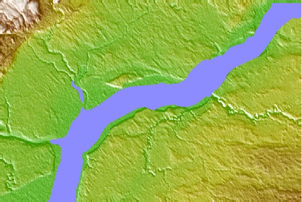
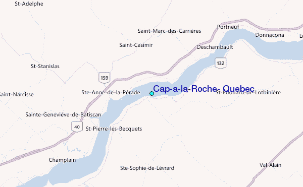
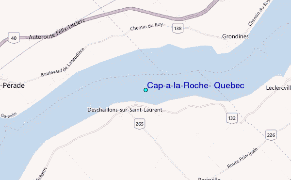
Use this relief map to navigate to tide stations, surf breaks and cities that are in the area of Cap-a-la-Roche, Quebec.
Other Nearby Locations' tide tables and tide charts to Cap-a-la-Roche, Quebec:
click location name for more details
 Surf breaks close to Cap-a-la-Roche, Quebec:
|
||
|---|---|---|
| Closest surf break | Trayhan's | 220 mi |
| Second closest surf break | Popham Read | 226 mi |
| Third closest surf break | Higgins Beach | 226 mi |
| Fourth closest surf break | Old Orchard Beach | 226 mi |
| Fifth closest surf break | Pine Point | 226 mi |


 Nearest
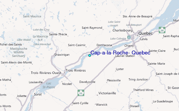