
| Distance / Altitude | Location | Report Date / Time | Live Weather | Wind | Gusts | Temp. | Visibility | Cloud |
|---|---|---|---|---|---|---|---|---|
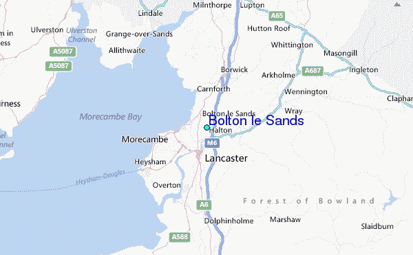
| 3 km WNW / 10 m | Bolton le Sands (United Kingdom) | 2026-06-26 22:27 local (2026/06/26 21:27 GMT) | dry | wind obs. (10 kph from 308 degs) was rejected (- km/h at -) | 18°C | - | - - 0 | |
| 12 km SSW / 3 m | SHIP1933 (Marine) | 2026-06-26 21:00 local (2026/06/26 20:00 GMT) | - (- km/h at -) | 19°C | - | |||
| 21 km SW / 3 m | Morecambe Bay Waverider (Marine) | 2026-06-26 21:02 local (2026/06/26 20:02 GMT) | - (- km/h at -) | — | - | |||
| 12 km SSW / 3 m | SHIP6283 (Marine) | 2026-06-26 20:00 local (2026/06/26 19:00 GMT) | - (- km/h at -) | 20°C | - | |||
| 12 km SSW / 15 m | SHIP2494 (Marine) | 2026-06-26 20:00 local (2026/06/26 19:00 GMT) | - (- km/h at -) | — | - km | |||
| 12 km SSW / 15 m | SHIP2814 (Marine) | 2026-06-26 20:00 local (2026/06/26 19:00 GMT) | - (- km/h at -) | — | - km | |||
| 12 km SSW / 15 m | SHIP1465 (Marine) | 2026-06-26 20:00 local (2026/06/26 19:00 GMT) | - (- km/h at -) | — | - km | |||
| 12 km SSW / 3 m | SHIP56 (Marine) | 2026-06-26 20:00 local (2026/06/26 19:00 GMT) | - (- km/h at -) | 20°C | - | |||
| 12 km SSW / 3 m | SHIP926 (Marine) | 2026-06-26 20:00 local (2026/06/26 19:00 GMT) | - (- km/h at -) | 20°C | - | |||
| 12 km SSW / 3 m | SHIP4479 (Marine) | 2026-06-26 20:00 local (2026/06/26 19:00 GMT) | - (- km/h at -) | 20°C | - |
| Contours: | Roads & Rivers: | Select a
tide station / surf break / city |
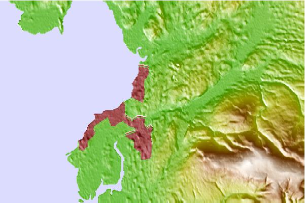
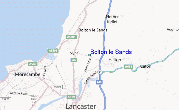
Use this relief map to navigate to tide stations, surf breaks and cities that are in the area of Bolton le Sands.
Other Nearby Locations' tide tables and tide charts to Bolton le Sands:
click location name for more details
 Surf breaks close to Bolton le Sands:
|
||
|---|---|---|
| Closest surf break | Llanddulas Breakwater | 65 mi |
| Second closest surf break | Rhos-On-Sea | 66 mi |
| Third closest surf break | Llandudno | 68 mi |
| Fourth closest surf break | Castletown | 76 mi |
| Fifth closest surf break | Seaton Carew | 76 mi |


 Nearest
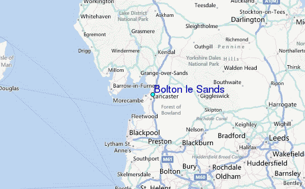