
| Distance / Altitude | Location | Report Date / Time | Live Weather | Wind | Gusts | Temp. | Visibility | Cloud |
|---|---|---|---|---|---|---|---|---|
| 149 km ENE / 164 m | Kuujjuarapik Airport (Quebec) | 2026-07-26 05:00 local (2026/07/26 09:00 GMT) | Dry and cloudy | light winds from the SSW.(Wind varies from 170 to 230 degs) (6 km/h at 200) | 7°C | 14 | overcast | |
| 174 km SE / 195 m | LA Grande Riviere A- Que (Canada) | 2026-07-26 06:00 local (2026/07/26 10:00 GMT) | no report | - (- km/h at -) | 6°C | - | - - - | |
| 175 km SE / 217 m | La Grande Rivier Airport (Quebec) | 2026-07-26 05:00 local (2026/07/26 09:00 GMT) | Drizzle | calm (0 km/h at 0) | 7°C | 6 | overcast | |
| 218 km N / 34 m | Sanikiluaq (Canada) | 2026-07-26 06:00 local (2026/07/26 10:00 GMT) | no report | wind obs. (40 kph from 260 degs) was rejected (- km/h at -) | 4°C | - | - - - | |
| 255 km SSW / 9 m | Attawapiskat Airport (Canada) | 2026-07-26 05:00 local (2026/07/26 09:00 GMT) | Clear | light winds from the SW.(Wind varies from 170 to 250 degs) (7 km/h at 220) | 7°C | 14 | ||
| 366 km WSW / 11 m | Peawanuck (Aut)- Ont (Canada) | 2026-07-26 06:00 local (2026/07/26 10:00 GMT) | Dry and cloudy | light winds from the WSW (15 km/h at 250) | 13°C | 14 | overcast - - | |
| 371 km S / 9 m | Moosonee Airport (Ontario) | 2026-07-26 06:00 local (2026/07/26 10:00 GMT) | no report | calm (2 km/h at 250) | 7°C | 0.0 | - - - | |
| 375 km S / 217 m | Moosonee Airport (Ontario) | 2026-07-26 05:00 local (2026/07/26 09:00 GMT) | - | calm (0 km/h at 0) | — | |||
| 410 km E / 714 m | Aéroport de La Grande-4 (Quebec) | 2026-07-26 06:00 local (2026/07/26 10:00 GMT) | no report | light winds from the WSW (14 km/h at 250) | 8°C | 14 | broken overcast - | |
| 410 km E / 714 m | LA Grande-4 Airport (Quebec) | 2026-07-26 05:28 local (2026/07/26 09:28 GMT) | Dry and cloudy | light winds from the W (7 km/h at 260) | 14°C | 14 | broken overcast |
| Contours: | Roads & Rivers: | Select a
tide station / surf break / city |
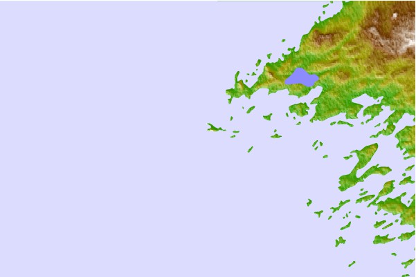
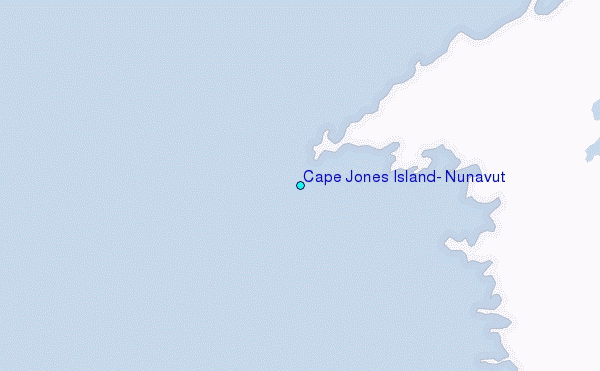
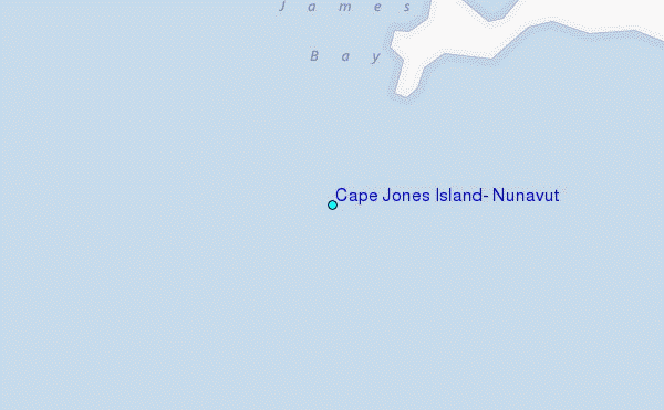
Use this relief map to navigate to tide stations, surf breaks and cities that are in the area of Cape Jones Island, Nunavut.
Other Nearby Locations' tide tables and tide charts to Cape Jones Island, Nunavut:
click location name for more details
 Surf breaks close to Cape Jones Island, Nunavut:
|
||
|---|---|---|
| Closest surf break | Marathon | 498 mi |
| Second closest surf break | Alona Bay | 557 mi |
| Third closest surf break | Keweenaw Peninsula | 613 mi |
| Fourth closest surf break | Au Sable Point | 614 mi |
| Fifth closest surf break | Grand Marias | 614 mi |


 Nearest
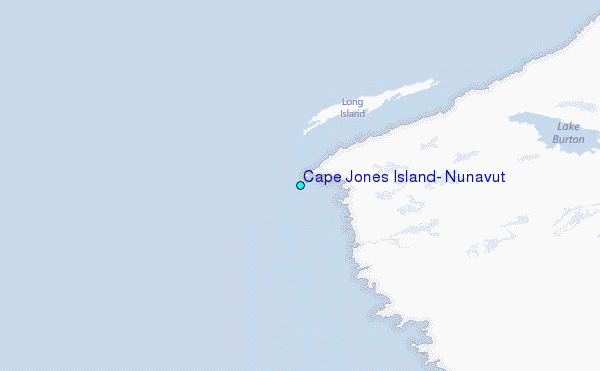