
| Distance / Altitude | Location | Report Date / Time | Live Weather | Wind | Gusts | Temp. | Visibility | Cloud |
|---|---|---|---|---|---|---|---|---|
| 117 km E / 15 m | SHIP4108 (Marine) | 2026-07-26 07:30 local (2026/07/26 10:00 GMT) | fresh winds from the S (31.680000000000003 km/h at 170) | 5°C | - km | |||
| 118 km E / 3 m | SHIP6564 (Marine) | 2026-07-26 07:30 local (2026/07/26 10:00 GMT) | fresh winds from the S (32 km/h at 170) | 6°C | - | |||
| 118 km E / 3 m | SHIP3827 (Marine) | 2026-07-26 07:30 local (2026/07/26 10:00 GMT) | fresh winds from the S (32 km/h at 170) | 6°C | - | |||
| 118 km E / 15 m | SHIP1088 (Marine) | 2026-07-26 07:30 local (2026/07/26 10:00 GMT) | fresh winds from the S (31.680000000000003 km/h at 170) | 5°C | - km | |||
| 118 km E / 3 m | SHIP992 (Marine) | 2026-07-26 07:30 local (2026/07/26 10:00 GMT) | fresh winds from the S (32 km/h at 170) | 6°C | - | |||
| 123 km E / 3 m | SHIP3500 (Marine) | 2026-07-26 06:30 local (2026/07/26 09:00 GMT) | fresh winds from the SSE (35 km/h at 160) | 5°C | - | |||
| 123 km E / 15 m | SHIP1466 (Marine) | 2026-07-26 06:30 local (2026/07/26 09:00 GMT) | fresh winds from the SSE (35.28 km/h at 160) | 6°C | - km | |||
| 123 km E / 15 m | SHIP4438 (Marine) | 2026-07-26 06:30 local (2026/07/26 09:00 GMT) | fresh winds from the SSE (35.28 km/h at 160) | 6°C | - km | |||
| 123 km E / 3 m | SHIP786 (Marine) | 2026-07-26 06:30 local (2026/07/26 09:00 GMT) | fresh winds from the SSE (35 km/h at 160) | 5°C | - | |||
| 123 km E / 3 m | SHIP690 (Marine) | 2026-07-26 06:30 local (2026/07/26 09:00 GMT) | fresh winds from the SSE (35 km/h at 160) | 5°C | - |
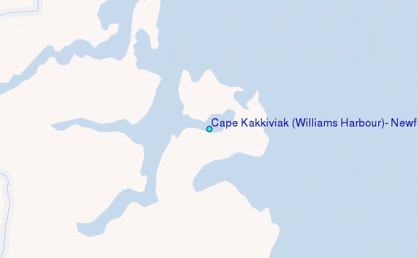
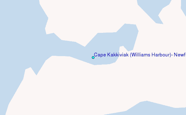
Choose Cape Kakkiviak (Williams Harbour), Newfoundland Location Map Zoom:
| Contours: | Roads & Rivers: | Select a
tide station / surf break / city |
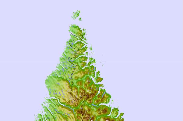
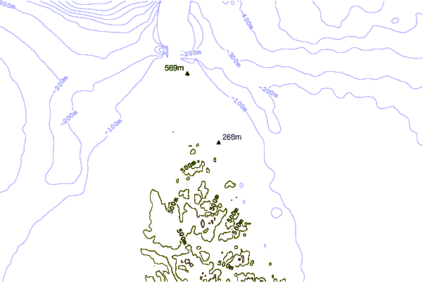
Use this relief map to navigate to tide stations, surf breaks and cities that are in the area of Cape Kakkiviak (Williams Harbour), Newfoundland.
Other Nearby Locations' tide tables and tide charts to Cape Kakkiviak (Williams Harbour), Newfoundland:
click location name for more details
 Surf breaks close to Cape Kakkiviak (Williams Harbour), Newfoundland:
|
||
|---|---|---|
| Closest surf break | Ingonish Beach | 937 mi |
| Second closest surf break | Kennington Cove | 991 mi |
| Third closest surf break | Michaud Point | 1009 mi |
| Fourth closest surf break | Martinique | 1060 mi |
| Fifth closest surf break | Lawrencetown Reef | 1062 mi |


 Nearest
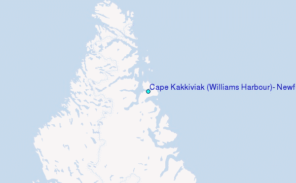