
| Distance / Altitude | Location | Report Date / Time | Live Weather | Wind | Gusts | Temp. | Visibility | Cloud |
|---|---|---|---|---|---|---|---|---|
| 96 km ENE / 217 m | La Grande Rivier Airport (Quebec) | 2026-07-25 20:42 local (2026/07/26 00:42 GMT) | Drizzle | light winds from the NNW (13 km/h at 330) | 10°C | 5 | overcast | |
| 97 km ENE / 195 m | LA Grande Riviere A- Que (Canada) | 2026-07-25 21:00 local (2026/07/26 01:00 GMT) | no report | - (- km/h at -) | 6°C | - | - - - | |
| 222 km NNE / 164 m | Kuujjuarapik Airport (Quebec) | 2026-07-25 20:00 local (2026/07/26 00:00 GMT) | Dry and cloudy | light winds from the NNW (7 km/h at 330) | 9°C | 14 | overcast | |
| 229 km SW / 9 m | Attawapiskat Airport (Canada) | 2026-07-25 20:00 local (2026/07/26 00:00 GMT) | Clear | light winds from the ESE (9 km/h at 110) | 13°C | 14 | ||
| 258 km S / 9 m | Moosonee Airport (Ontario) | 2026-07-25 21:00 local (2026/07/26 01:00 GMT) | no report | light winds from the N (7 km/h at 10) | 9°C | 0.0 | - - - | |
| 263 km S / 217 m | Moosonee Airport (Ontario) | 2026-07-25 20:00 local (2026/07/26 00:00 GMT) | - | calm (0 km/h at 0) | — | |||
| 346 km N / 34 m | Sanikiluaq (Canada) | 2026-07-25 20:00 local (2026/07/26 00:00 GMT) | no report | strong winds from the W (40 km/h at 260) | 4°C | - | - - - | |
| 362 km E / 714 m | Aéroport de La Grande-4 (Quebec) | 2026-07-25 21:00 local (2026/07/26 01:00 GMT) | no report | light winds from the WSW (14 km/h at 250) | 8°C | 14 | scattered broken overcast | |
| 362 km E / 714 m | LA Grande-4 Airport (Quebec) | 2026-07-25 20:00 local (2026/07/26 00:00 GMT) | no report | light winds from the WSW (14 km/h at 250) | 8°C | 14 | broken broken overcast | |
| 418 km SSE / 717 m | Matagami Airport (Quebec) | 2026-07-25 20:43 local (2026/07/26 00:43 GMT) | Light rain | light winds from the S (15 km/h at 190) | 16°C | 14 | broken overcast |
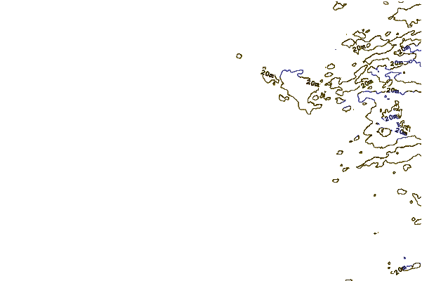
| Contours: | Roads & Rivers: | Select a
tide station / surf break / city |
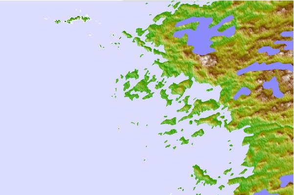
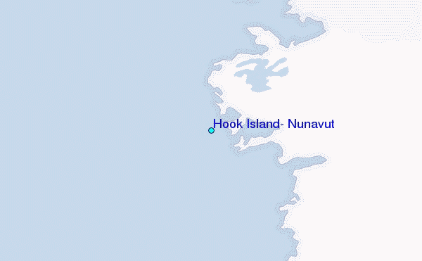
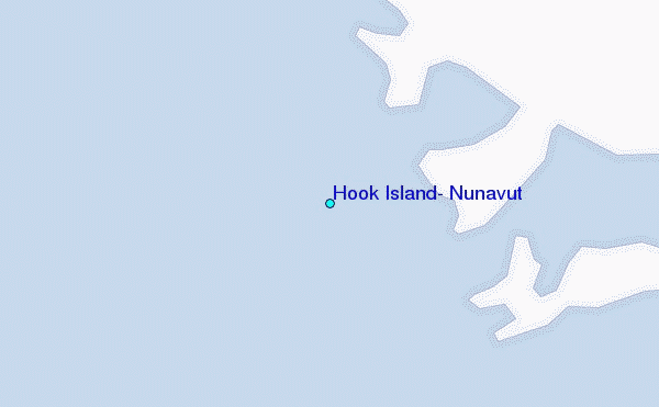
Use this relief map to navigate to tide stations, surf breaks and cities that are in the area of Hook Island, Nunavut.
Other Nearby Locations' tide tables and tide charts to Hook Island, Nunavut:
click location name for more details
 Surf breaks close to Hook Island, Nunavut:
|
||
|---|---|---|
| Closest surf break | Marathon | 457 mi |
| Second closest surf break | Alona Bay | 498 mi |
| Third closest surf break | Manitoulin Island | 553 mi |
| Fourth closest surf break | Bayfield | 561 mi |
| Fifth closest surf break | Grand Marias | 561 mi |


 Nearest
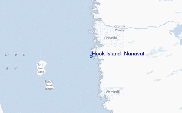