
| Distance / Altitude | Location | Report Date / Time | Live Weather | Wind | Gusts | Temp. | Visibility | Cloud |
|---|---|---|---|---|---|---|---|---|
| 4 km WSW / 9 m | Moosonee Airport (Ontario) | 2026-07-26 06:00 local (2026/07/26 10:00 GMT) | no report | calm (2 km/h at 250) | 7°C | 0.0 | - - - | |
| 7 km SW / 217 m | Moosonee Airport (Ontario) | 2026-07-26 05:00 local (2026/07/26 09:00 GMT) | - | calm (0 km/h at 0) | — | |||
| 222 km WNW / 9 m | Attawapiskat Airport (Canada) | 2026-07-26 05:00 local (2026/07/26 09:00 GMT) | Clear | light winds from the SW.(Wind varies from 170 to 250 degs) (7 km/h at 220) | 7°C | 14 | ||
| 240 km SSW / 396 m | Kapuskasing CDA Airport (Ontario) | 2026-07-26 05:00 local (2026/07/26 09:00 GMT) | - | light winds from the NE (6 km/h at 40) | 13°C | 0.0 | ||
| 249 km S / 218 m | Kapuskasing Cda On- Ont (Canada) | 2026-07-26 05:00 local (2026/07/26 09:00 GMT) | no report | calm (4 km/h at 200) | 11°C | - | - | |
| 249 km S / 216 m | Kapuskasing Airport (Ontario) | 2026-07-26 05:00 local (2026/07/26 09:00 GMT) | Dry and cloudy | light winds from the NE (7 km/h at 50) | — | 0.0 | overcast overcast broken | |
| 250 km S / 226 m | Kapuskasing A- Ont (Canada) | 2026-07-26 06:00 local (2026/07/26 10:00 GMT) | no report | - (- km/h at -) | 10°C | - | - - - | |
| 259 km SE / 717 m | Matagami Airport (Quebec) | 2026-07-26 05:24 local (2026/07/26 09:24 GMT) | Mist - | light winds from the SSW (11 km/h at 200) | 16°C | 10 | overcast | |
| 260 km SE / 280 m | Matagami A- Que (71947 -0) (Canada) | 2026-07-26 06:00 local (2026/07/26 10:00 GMT) | no report | wind obs. (7 kph from 250 degs) was rejected (- km/h at -) | 10°C | - | - - - | |
| 308 km SW / 264 m | Nagagami (Aut)- Ont (Canada) | 2026-07-26 06:00 local (2026/07/26 10:00 GMT) | - | calm (4 km/h at 250) | — | - | - - - |
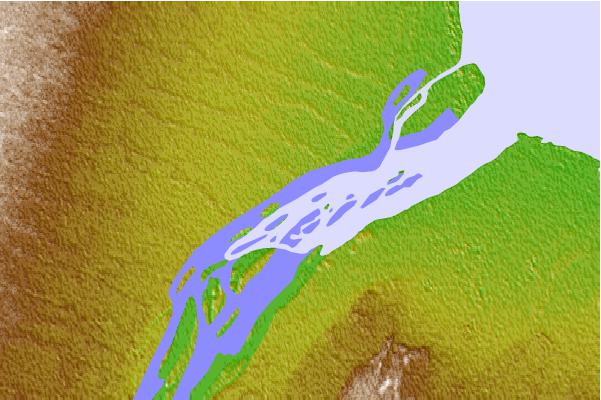
| Contours: | Roads & Rivers: | Select a
tide station / surf break / city |

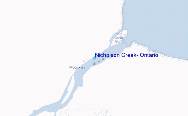
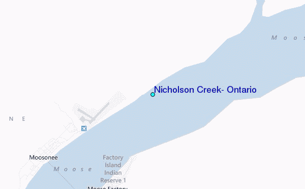
Use this relief map to navigate to tide stations, surf breaks and cities that are in the area of Nicholson Creek, Ontario.
Other Nearby Locations' tide tables and tide charts to Nicholson Creek, Ontario:
click location name for more details
 Surf breaks close to Nicholson Creek, Ontario:
|
||
|---|---|---|
| Closest surf break | Marathon | 319 mi |
| Second closest surf break | Alona Bay | 341 mi |
| Third closest surf break | Manitoulin Island | 395 mi |
| Fourth closest surf break | Grand Marias | 407 mi |
| Fifth closest surf break | Au Sable Point | 408 mi |


 Nearest
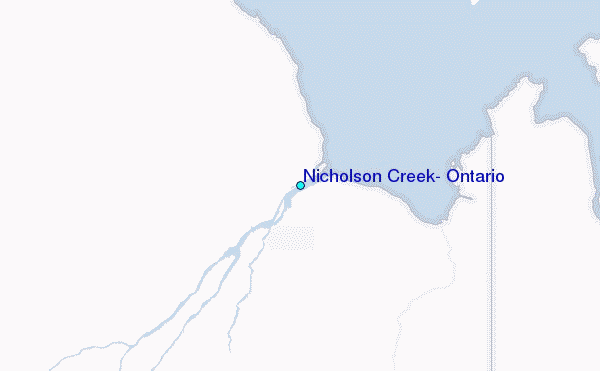