
| Distance / Altitude | Location | Report Date / Time | Live Weather | Wind | Gusts | Temp. | Visibility | Cloud |
|---|---|---|---|---|---|---|---|---|
| 0 km NNE / 10 m | Fort Ross- NU (Canada) | 2026-07-26 06:00 local (2026/07/26 10:00 GMT) | no report | wind obs. (18 kph from 320 degs) was rejected (- km/h at -) | 2°C | - | - - - | |
| 301 km N / 30 m | Resolute (Canada) | 2026-07-26 05:00 local (2026/07/26 09:00 GMT) | no report | wind obs. (7 kph from 270 degs) was rejected (- km/h at -) | 0°C | - | - | |
| 302 km N / 216 m | Resolute Airport (N.w. Territories) | 2026-07-26 05:08 local (2026/07/26 09:08 GMT) | Dry and partly cloudy | light winds from the SE (15 km/h at 140) | 3°C | 48 | broken | |
| 302 km N / 30 m | Resolute CS Airport (Nunavut) | 2026-07-26 06:00 local (2026/07/26 10:00 GMT) | no report | wind obs. (7 kph from 290 degs) was rejected (- km/h at -) | 1°C | 0.0 | - - - | |
| 327 km ENE / 2 m | Arctic Bay Airport (N.w. Territories) | 2026-07-26 05:00 local (2026/07/26 09:00 GMT) | - | calm (0 km/h at 0) | 6°C | 0.0 | ||
| 327 km ENE / 10 m | Arctic Bay Cs- NU (Canada) | 2026-07-26 06:00 local (2026/07/26 10:00 GMT) | no report | light winds from the NW (14 km/h at 320) | 2°C | - | - - - | |
| 382 km S / 47 m | Gjoa Haven (Canada) | 2026-07-26 06:00 local (2026/07/26 10:00 GMT) | - | wind obs. (11 kph from 350 degs) was rejected (- km/h at -) | — | - | - - - | |
| 384 km S / 217 m | Gjoa Haven Airport (N.w. Territories) | 2026-07-26 05:00 local (2026/07/26 09:00 GMT) | Clear | calm (0 km/h at 0) | 8°C | 14 | ||
| 412 km W / 11 m | Stefansson Island Airport (Nunavut) | 2026-07-26 05:00 local (2026/07/26 09:00 GMT) | - | light winds from the E (19 km/h at 100) | 0°C | 0.0 | ||
| 413 km W / 11 m | Stefansson Island- NU (Canada) | 2026-07-26 05:00 local (2026/07/26 09:00 GMT) | no report | wind obs. (18 kph from 230 degs) was rejected (- km/h at -) | — | - | - |
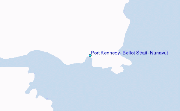
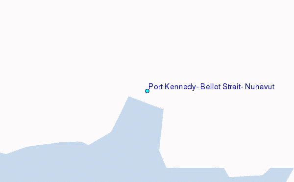
Choose Port Kennedy, Bellot Strait, Nunavut Location Map Zoom:
| Contours: | Roads & Rivers: | Select a
tide station / surf break / city |
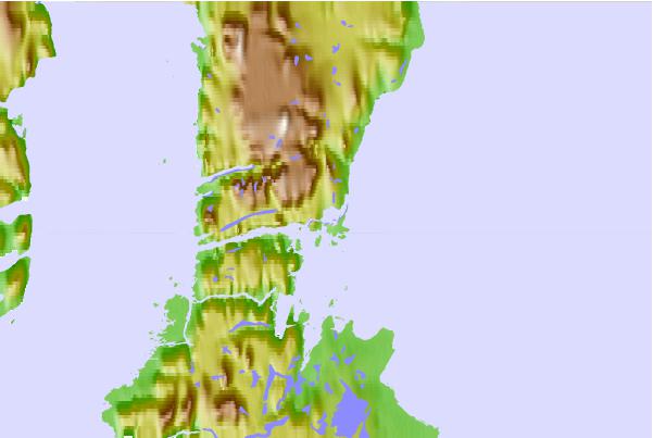
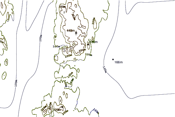
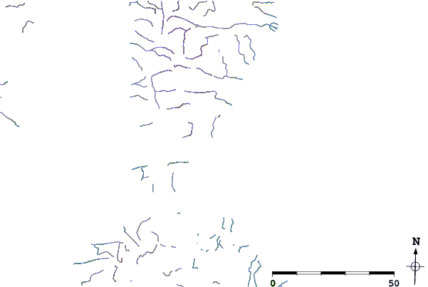
Use this relief map to navigate to tide stations, surf breaks and cities that are in the area of Port Kennedy, Bellot Strait, Nunavut.
Other Nearby Locations' tide tables and tide charts to Port Kennedy, Bellot Strait, Nunavut:
click location name for more details
 Surf breaks close to Port Kennedy, Bellot Strait, Nunavut:
|
||
|---|---|---|
| Closest surf break | Graveyards | 1500 mi |
| Second closest surf break | Cannon Beach | 1502 mi |
| Third closest surf break | Ocean Cape | 1502 mi |
| Fourth closest surf break | Marathon | 1628 mi |
| Fifth closest surf break | Tow Hill Beach | 1659 mi |


 Nearest
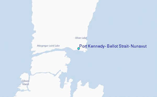