
| Distance / Altitude | Location | Report Date / Time | Live Weather | Wind | Gusts | Temp. | Visibility | Cloud |
|---|---|---|---|---|---|---|---|---|
| 28 km SSE / 345 m | Makkovik Airport (Newfoundland) | 2026-07-26 06:30 local (2026/07/26 09:00 GMT) | Dry and partly cloudy | light winds from the WSW (19 km/h at 240) | 21°C | 24 | broken | |
| 57 km W / 212 m | Hopedale Airport (Newfoundland) | 2026-07-26 06:30 local (2026/07/26 09:00 GMT) | - | fresh winds from the N (30 km/h at 0) | 19°C | 0.0 | ||
| 57 km W / 10 m | Hopedale (Aut)- Nfld (Canada) | 2026-07-26 07:30 local (2026/07/26 10:00 GMT) | no report | - (- km/h at 320) | 12°C | - | - | |
| 200 km WNW / 472 m | Nain Airport (Newfoundland) | 2026-07-26 06:30 local (2026/07/26 09:00 GMT) | Dry and partly cloudy | calm (0 km/h at 0) | 10°C | 24 | few broken | |
| 202 km WNW / 12 m | Nain- Nfld (Canada) | 2026-07-26 07:30 local (2026/07/26 10:00 GMT) | no report | - (- km/h at -) | 15°C | - | - | |
| 231 km S / 216 m | Goose Bay Airport (Newfoundland) | 2026-07-26 06:30 local (2026/07/26 09:00 GMT) | Dry and partly cloudy | light winds from the S (11 km/h at 180) | 20°C | 24 | few broken broken | |
| 232 km SE / 14 m | Cartwright (Canada) | 2026-07-26 07:30 local (2026/07/26 10:00 GMT) | no report | light winds from the SW (7 km/h at 230) | 18°C | - | - | |
| 232 km S / 1 m | Goose Ua- Nfld (Canada) | 2026-07-26 07:30 local (2026/07/26 10:00 GMT) | - | - (- km/h at -) | — | - | - | |
| 234 km SE / 12 m | Cartwright Airport (Newfoundland) | 2026-07-26 06:30 local (2026/07/26 09:00 GMT) | Clear | light winds from the SSW (13 km/h at 210) | 20°C | 14 | ||
| 270 km NW / 15 m | SHIP5714 (Marine) | 2026-07-26 06:30 local (2026/07/26 09:00 GMT) | moderate winds from the WSW (20.52 km/h at 240) | 7°C | - km |

| Contours: | Roads & Rivers: | Select a
tide station / surf break / city |
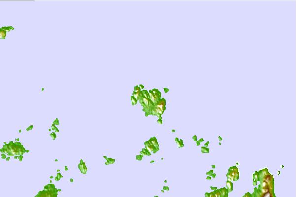
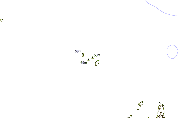
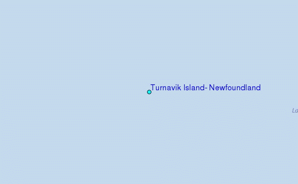
Use this relief map to navigate to tide stations, surf breaks and cities that are in the area of Turnavik Island, Newfoundland.
Other Nearby Locations' tide tables and tide charts to Turnavik Island, Newfoundland:
click location name for more details
 Surf breaks close to Turnavik Island, Newfoundland:
|
||
|---|---|---|
| Closest surf break | Ingonish Beach | 600 mi |
| Second closest surf break | Kennington Cove | 653 mi |
| Third closest surf break | Michaud Point | 676 mi |
| Fourth closest surf break | Martinique | 753 mi |
| Fifth closest surf break | Lawrencetown Left Point | 758 mi |


 Nearest
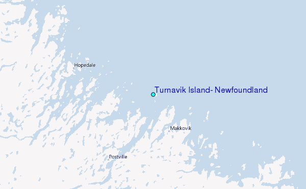