
| Distance / Altitude | Location | Report Date / Time | Live Weather | Wind | Gusts | Temp. | Visibility | Cloud |
|---|---|---|---|---|---|---|---|---|
| 135 km SE / 173 m | Eastmain River Airport (Quebec) | 2026-05-06 09:36 local (2026/05/06 13:36 GMT) | Mist - | light winds from the W (19 km/h at 280) | 1°C | 5 | broken broken overcast | |
| 164 km WSW / 9 m | Attawapiskat Airport (Canada) | 2026-05-06 09:00 local (2026/05/06 13:00 GMT) | Dry and partly cloudy | light winds from the NNW (13 km/h at 340) | 0°C | 14 | scattered | |
| 166 km ENE / 217 m | La Grande Rivier Airport (Quebec) | 2026-05-06 09:00 local (2026/05/06 13:00 GMT) | Light snow | moderate winds from the W (20 km/h at 260) | -1°C | 5 | scattered broken overcast | |
| 167 km ENE / 195 m | LAGrandeRiviere A- Que (Canada) | 2026-05-06 09:00 local (2026/05/06 13:00 GMT) | no report | light winds from the W (13 km/h at 260) | 6°C | 2.4 km | - mostly cloudy - | |
| 194 km SSE / 215 m | Waskaganish Airport (Quebec) | 2026-05-06 10:36 local (2026/05/06 14:36 GMT) | Dry and cloudy | light winds from the W (17 km/h at 270) | 2°C | 24 | broken overcast | |
| 197 km S / 9 m | Moosonee Airport (Ontario) | 2026-05-06 10:00 local (2026/05/06 14:00 GMT) | no report | light winds from the WSW (9 km/h at 250) | 1°C | 0.0 | - - - | |
| 202 km S / 217 m | Moosonee Airport (Ontario) | 2026-05-06 09:41 local (2026/05/06 13:41 GMT) | Light rain | light winds from the W (15 km/h at 280) | 2°C | 14 | overcast | |
| 288 km NNE / 164 m | Kuujjuarapik Airport (Quebec) | 2026-05-06 09:35 local (2026/05/06 13:35 GMT) | - | light winds from the WSW (19 km/h at 250) | — | 0.0 | broken | |
| 290 km NNE / 12 m | Kuujjuarapik Arpt (Canada) | 2026-05-06 09:00 local (2026/05/06 13:00 GMT) | - | calm (4 km/h at 310) | — | - | - | |
| 391 km N / 237 m | Sanikiluaq Airport (N.w. Territories) | 2026-05-06 09:00 local (2026/05/06 13:00 GMT) | Light snow | fresh winds from the WNW (35 km/h at 290) | -3°C | 11 | broken overcast |
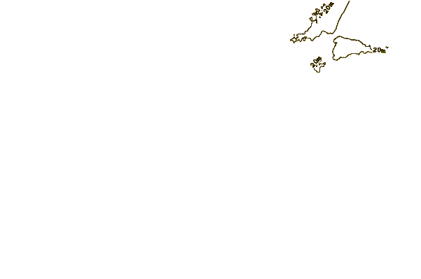
| Contours: | Roads & Rivers: | Select a
tide station / surf break / city |
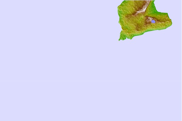
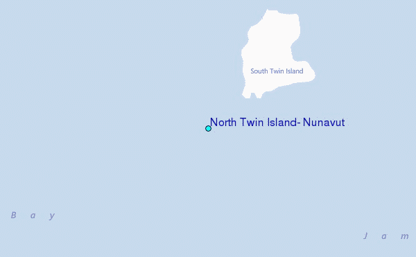
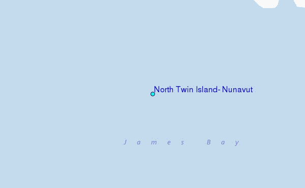
Use this relief map to navigate to tide stations, surf breaks and cities that are in the area of North Twin Island, Nunavut.
Other Nearby Locations' tide tables and tide charts to North Twin Island, Nunavut:
click location name for more details
 Surf breaks close to North Twin Island, Nunavut:
|
||
|---|---|---|
| Closest surf break | Marathon | 412 mi |
| Second closest surf break | Alona Bay | 456 mi |
| Third closest surf break | Manitoulin Island | 516 mi |
| Fourth closest surf break | Grand Marias | 517 mi |
| Fifth closest surf break | Au Sable Point | 518 mi |


 Nearest
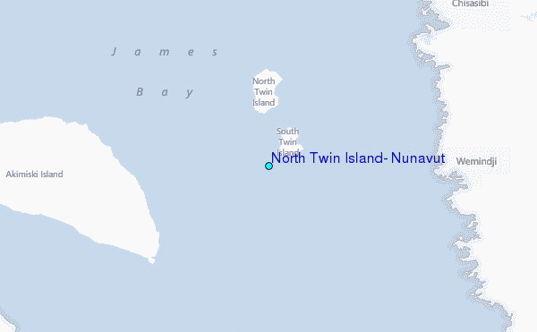